
What is recorded here
The following description is derived from the field notes of the Castleisland Survey (1985-90): ‘The monument consists of an enormous “capstone” of blue sandstone supported on a number of smaller stones. The capstone is irregular in shape and the top surface slopes in a North direction. The capstone measures 3.05m in length from North East to South West. It measures 2.40m in width across the South West end narrowing to c. l.30m near the North East end. . . . The underside of the capstone is supported on the South West by two small pad stones . . . The capstone is raised at its South West end and slopes in a North East direction, it stands to a height of 1.35cm from ground level at its South West end and to a height of 80cm at its North East end. A circular depression c. 4cm in diameter and c. 3cm deep is visible on the South West face of the stone.’ The precise nature of this structure is unknown and a more precise classification must await further research.
Compiled by: Paul Walsh
Date of upload: 8 June 2017
The monument record does not grant public access. Check the route and ask the landowner before entering private land.
- What survives
- Recorded monument
Places near here
 LissateomraArchaeological place · 629 yd
 Burnt spread in GarraundarraghBurnt spread · 971 yd
 Site of Currans CastleCastle, unclassified · 1398 yd
 KillChurch · 1448 yd
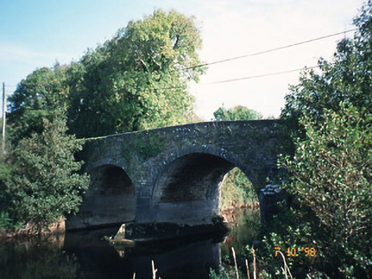 Maine Bridgebridge · 1.0 mi
 CastleCastle, ringwork · 2.4 mi
 PoulatouirtCave · 4.8 mi
 Common AlderCommon Alder · 4.8 mi
 Poulclashcannon (blocked)Cave · 4.9 mi
 Ballygamboon Forest Recreation AreaWood · 5.0 mi
 Scotia's GraveArchaeological place · 6.4 mi
 KnockmoyleMountain / peak · 6.8 mi
Other information
Photo: Credit not shown in the picture search · Rights wording not checked; contact us if this picture should be removed