What is recorded here
On the SE slopes of the Ox Mountains overlooking the Lough Talt River to the NE. A massive slab (3.6m x 2.9m; T 1-1.5m) rests in a more or less horizontal position on a few courses of drystone-walling (H 0.7m) under its perimeter at E and W. The whole structure sits in a slight hollow. There was a small quarry alongside the site in the 1960s but this has been filled in and the land reclaimed. This work was probably the source of stones now piled against the structure. The age and function of this feature is not known.
The above description is derived from the published 'Archaeological Inventory of County Sligo' compiled by Ursula Egan, Elizabeth Byrne, Mary Sleeman with Sheila Ronan and Connie Murphy (Dublin Stationery Office, 2005).
Date of upload: 18 January 2008
The monument record does not grant public access. Check the route and ask the landowner before entering private land.
- What survives
- Recorded monument
Places near here
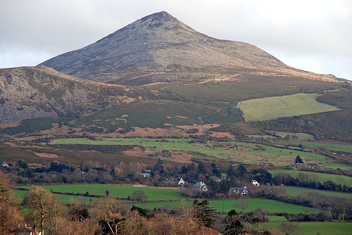 ToberaraghtHoly well · 201 yd
 St. Barbaras WellHoly well · 304 yd
 Castle Carragh in RuinsCastle, unclassified · 1.6 mi
 Lough Talt TrailVisitor information · 1.8 mi
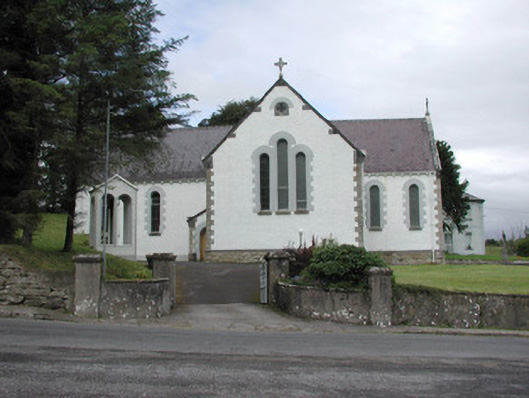 Catholic Church of Our Lady of the Rosarychurch/chapel · 2.1 mi
 Church in KilmacteigeChurch · 2.1 mi
 Carrick WoodWood · 2.6 mi
 Castle (in Ruins)Castle, tower house · 2.8 mi
 KnockasliggaunMountain / peak · 2.8 mi
 Largan HillMountain / peak · 2.9 mi
 Mass RockNamed rock · 3.1 mi
 New WoodWood · 3.2 mi