
What is recorded here
In reclaimed pasture c. 1.5km E of Castletown Bearhaven. Drawing by Somerville (UCC) shows flat slab, orientated E-W, supported on dry stone masonry; upright stone (H 2 feet) at SW end; two large boulders to W and NE. Somerville considered it a some what doubtful 'grave'. No visible surface trace.
The above description is derived from the published 'Archaeological Inventory of County Cork. Volume 1: West Cork' (Dublin: Stationery Office, 1992). In certain instances the entries have been revised and updated in the light of recent research.
Date of upload/revision: 14 January 2009
The monument record does not grant public access. Check the route and ask the landowner before entering private land.
- What survives
- Recorded monument
Places near here
 Megalithic structure in Derrymihin WestMegalithic structure · 272 yd
 Minane IslandIslet · 400 yd
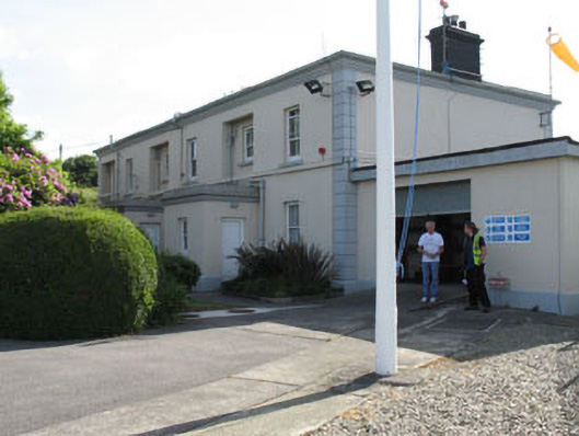 The Lighthouse Dwellingslighthouse keeper's house · 510 yd
 IndicatedChurch · 513 yd
 Dinish IslandIslet · 1065 yd
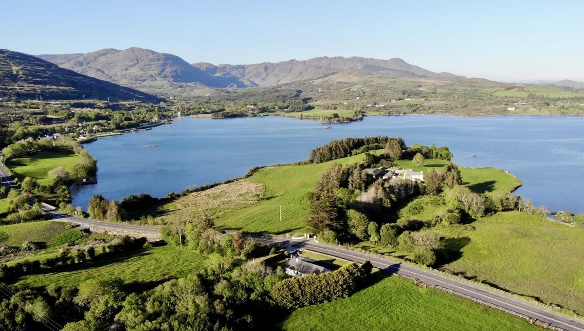 Burial Gd (Disused)Burial ground · 1224 yd
 Berehaven Battalion MemorialMemorial · 1651 yd
 Sarah Walker GalleryGallery · 1.0 mi
 Burial ground in DerrycreeveenBurial ground · 1.1 mi
 Ardnakinna West Island LoopWalking route · 1.7 mi
 Eagle HillMountain / peak · 1.8 mi
 KnockanalligMountain / peak · 1.9 mi
Other information
Photo: Credit not shown in the picture search · Rights wording not checked; contact us if this picture should be removed