
What is recorded here
On top of a low rise of ground in undulating countryside. Described by Murphy (1927, 66) as 'several other large stones, more or less buried, and more roughly shaped that those of the oblong [TS046-042----]. These probably mark the site of some subsidiary erection but it is impossible to imagine its original shape'. It is not indicated on 1st (1840) ed. OS 6-inch map. The monument appears to consist of natural rock outcrop which has been landscaped to resemble a megalithic structure.
Compiled by: Jean Farrelly
Date of revised upload: 26 May 2015
The monument record does not grant public access. Check the route and ask the landowner before entering private land.
- What survives
- Recorded monument
Places near here
 Megalithic structure in Corbally (clogher Par.)Megalithic structure · 134 yd
 IndicatedFairy fort / earthen ringfort · 690 yd
 RoadRoad, road/trackway · 750 yd
 Graigone Castle (in ruins)House, fortified house · 797 yd
 Clogher Church (in ruins)Church · 805 yd
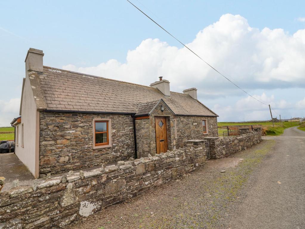 Bawn in ClogherBawn · 975 yd
 Clonoulty HillMountain / peak · 1145 yd
 Drum WoodWood · 1.8 mi
 Ring HillMountain / peak · 4.4 mi
 Wych ElmWych Elm · 4.7 mi
 Cormackstown Heritage CentreMuseum · 4.8 mi
 Soloheadbeg Ambushambush · 11 mi
Other information
Photo: Credit not shown in the picture search · Rights wording not checked; contact us if this picture should be removed