
What is recorded here
At the foot of rocky cliff along slopes and visible (to a walker) from the main Caherdaniel to Waterville Road. Capstone measuring 1.38 by 1.1m supported by four small stones underneath. Opening facing E. The capstone is c. 0.2m in thickness. Height from top of capstone to ground c. 0.7m. Together with another monument nearby this burial may well have been along an ancient track, just W of where the present road crosses the Beenarourke Pass. Loher stone fort (KE106-015----) is about 1.5 km further N and is clearly visible from this site.
Compiled by: Caimin O'Brien based on details provided by John Loesberg.
Date of upload: 27 September 2022
The monument record does not grant public access. Check the route and ask the landowner before entering private land.
- What survives
- Recorded monument
Places near here
 Com An ChisteViewpoint · 247 yd
 Binn Uí RuaircMountain / peak · 428 yd
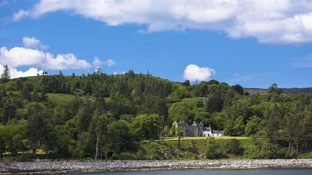 IndicatedFairy fort / stone ringfort · 942 yd
 Loher Stone FortArchaeological place · 973 yd
 Church in An LótharChurch · 1173 yd
 Farraniaragh MountainMountain / peak · 1643 yd
 Lamb's IslandIslet · 1.4 mi
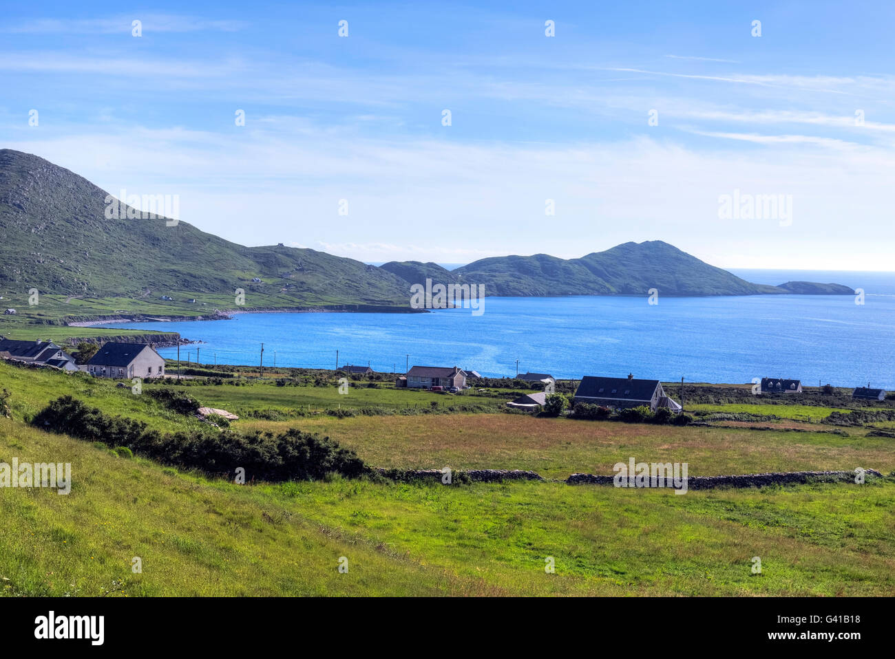 Hog's Head Signal TowerRuins · 1.4 mi
 Derrynane Bay Beach / Trá Bhá Doire FhionáinBeach / strand · 1.6 mi
 Páirc Náisiúnta Stairiúil Dhoire Fhíonáin / Derrynane National Historic ParkNature reserve · 1.7 mi
 Abbey IslandIslet · 1.8 mi
 Derrynane House / Teach Dhoire FhionáinHeritage attraction · 1.8 mi
Other information
Photo: Credit not shown in the picture search · Rights wording not checked; contact us if this picture should be removed