What is recorded here
One of six short cists ( LH004-032002-, LH004-032004-, LH004-032005-, LH004-032006-, LH004-032007-, LH004-032008-) aligned NW-SE, found during excavations by E. E. Evans of Cairn A at Aghnaskeagh (see also LH004-032---- and LH004-032001-). These secondary burials, dating to the Bronze Age, were W and SW of the megalith.
Cist (L c. 0.6m, Wth c. 0.5m) had side stones which were unusually low (H 0.23m) but heightened by horizontal slabbing (H 0.15m). A rough floor was constructed using a dozen flat pieces of shale, on which stood three food vessels. The remains of calcined human bones were found throughout the fill of the cist. Under one of the paving stones the seed-coats of blackberry (Rubus fruticosus) were found in large quantities and the excavator suggested that these were intentionally placed there, probably as ripe fruit.
The above description is derived from both the published 'Archaeological Inventory of County Louth' (Dublin: Stationery Office, 1986) and the 'Archaeological Survey of County Louth' (Dublin: Stationery Office, 1991). In certain instances the entries have been revised and updated in the light of recent research.
Date of upload: 17 July 2007
Portal dolmen; Neolithic period. Part of a megalithic cemetery, indicating early communal burial practices and social organisation in the region.
The monument record does not grant public access. Check the route and ask the landowner before entering private land.
- What survives
- Recorded monument
Places near here
 Megalithic StructurePortal tomb · 1 yd
 CairnCourt tomb · 51 yd
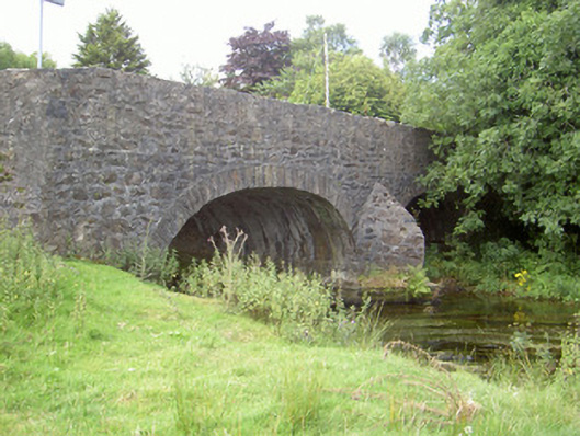 Curralhir Bridgebridge · 1034 yd
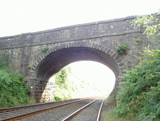 bridgebridge · 1161 yd
 Feede MountainMountain / peak · 1263 yd
 KILNASAGGART INSCRIBED PILLAR STONE & CEMETERY with 6 CROSS-CARVED STONES: CELL NA SACART in EdenappaKILNASAGGART INSCRIBED PILLAR STONE & CEMETERY with 6 CROSS-CARVED STONES: CELL NA SACART · 1.1 mi
 Moyry CastleCastle · 1.3 mi
 CASTLE & BAWN: MOYRY or MOIRY CASTLE in CarrickbroadCASTLE & BAWN: MOYRY or MOIRY CASTLE · 1.3 mi
 Ravensdale LoopWalking route · 1.3 mi
 Faughart MoundCastle, motte · 1.3 mi
 The Ben RockMountain / peak · 1.4 mi
 Ravensdale ForestForest · 1.6 mi