
What is recorded here
Double-arch road bridge over river, built c. 1800. Round-headed arches having roughly squared rubble stone voussoirs, and with roughly squared construction to arch barrels. Rubble stone construction to spandrels, parapets, and to central pier with cement rendered coping to parapets. Tarmacadam deck with grass verges. Sections of rubble stone walls to either end of parapets.
This is a fine example of a small rural road bridge. The north parapet is rendered similarly to the boundary wall of the church to which it is connected. Its building would have been important in the development of a route to the north of the peninsula.
This does not grant access. Most recorded buildings are privately owned; view them only from public ground unless the owner allows entry.
Places near here
 Malin Presbyterian Meeting Housechurch/chapel · 48 yd
 Destroyed Drung EnclosureFairy fort / ringfort · 901 yd
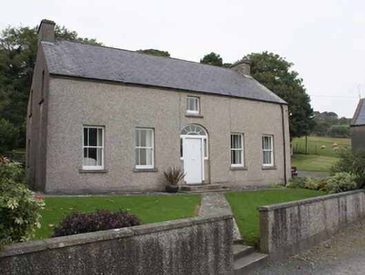 farm housefarm house · 950 yd
 Doagh Famine VillageMuseum · 1540 yd
 Dough Famine VillageHeritage attraction · 1573 yd
 Font (present location) in LagFont (present location) · 1610 yd
 Lag GraveyardGraveyard · 1631 yd
 CastleCastle, unclassified · 1746 yd
 Five Finger StrandBeach / strand · 1.1 mi
 Bawn in CarrickabraghyBawn · 2.4 mi
 Glashedy IslandIslet · 3.4 mi
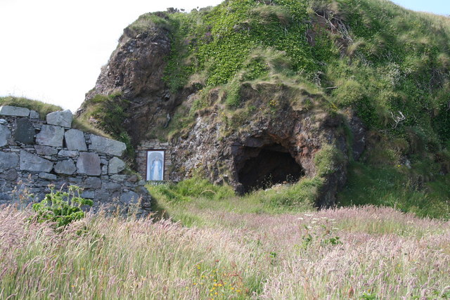 Wee House of Malin CaveCave · 4.0 mi
Other information
Photo: National Inventory of Architectural Heritage · Website use allowed for educational or private purposes with source credit