What is recorded here
Bushmills emerged as a medieval settlement along the river, proving that human life clustered there long before modern boundaries or tourist claims appeared. The name itself hints at beer, trade and river traffic, yet the earth still holds the quieter truth about ordinary people building homes, working land and shaping a town through generations.
The official Northern Ireland record identifies this as MEDIEVAL SETTLEMENT: BUSHMILLS. Recorded period: MEDIEVAL. The official map point was placed at the centre of the recorded archaeological site from the source map reference.
The monument record does not grant public access. Check the route and ask the landowner before entering private land.
- What survives
- Recorded monument
Places near here
 Oak HouseHouse · 95 yd
 MODERN CHURCH on site of MEDIEVAL CHURCH: PORTCAMAN CHURCH in GlebeMODERN CHURCH on site of MEDIEVAL CHURCH: PORTCAMAN CHURCH · 123 yd
 Bush HousePublic House · 266 yd
 Old Bushmills DistilleryHeritage attraction · 330 yd
 DESTROYED ENCLOSURE (rath) & Man-made underground passage (O.S. memoir site: unlocated) in EagryDESTROYED ENCLOSURE (rath) & Man-made underground passage (O.S. memoir site: unlocated) · 654 yd
 Runkerry BeachVisitor information · 1.2 mi
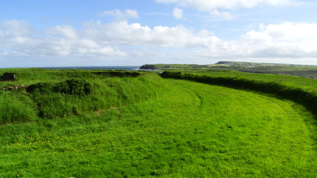 Lissanduff EarthworksNature reserve · 1.2 mi
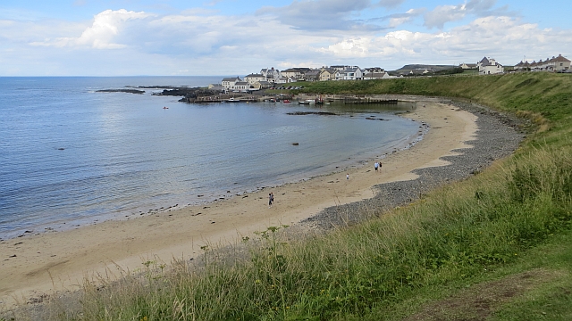 Portballintrae BeachBeach / strand · 1.3 mi
 Runkerry Stand (Bushfoot)Beach / strand · 1.4 mi
 ROUND CAIRN: CARNKIRK CASTLE in CarnkirkROUND CAIRN: CARNKIRK CASTLE · 1.5 mi
 CASTLE (destroyed): FLOWER HILL HOUSE in Flower HillCASTLE (destroyed): FLOWER HILL HOUSE · 1.7 mi
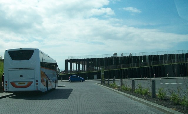 Giant's Causeway Visitor ExperienceMuseum · 2.1 mi