
What is recorded here
Eagry once held a destroyed rath and an unlocated underground passage, though no exact date or surviving edge remains clear. The land may have swallowed a boundary marker and a hidden path, leaving behind a gap large enough for imagination to enter. What is missing is not nothing; it is the part of the story that refuses to be pointed at.
The official Northern Ireland record identifies this as DESTROYED ENCLOSURE (rath) & Man-made underground passage (O.S. memoir site: unlocated). Recorded period: UNCERTAIN; E.CHRIST.. The official map point was placed at the centre of the recorded archaeological site from the source map reference.
The monument record does not grant public access. Check the route and ask the landowner before entering private land.
- What survives
- Recorded monument
Places near here
 Dunluce Presbyterian ChurchChurch · 283 yd
 Old Bushmills DistilleryHeritage attraction · 516 yd
 MODERN CHURCH on site of MEDIEVAL CHURCH: PORTCAMAN CHURCH in GlebeMODERN CHURCH on site of MEDIEVAL CHURCH: PORTCAMAN CHURCH · 574 yd
 The Old Bushmills DistilleryFactory · 575 yd
 A.P. SITEA.P. SITE, possible enclosure · 1070 yd
 CASTLE (destroyed): FLOWER HILL HOUSE in Flower HillCASTLE (destroyed): FLOWER HILL HOUSE · 1.4 mi
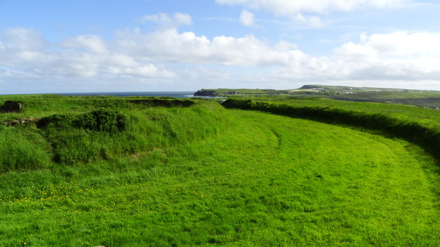 Lissanduff EarthworksNature reserve · 1.5 mi
 Runkerry BeachVisitor information · 1.5 mi
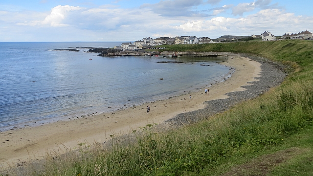 Portballintrae BeachBeach / strand · 1.6 mi
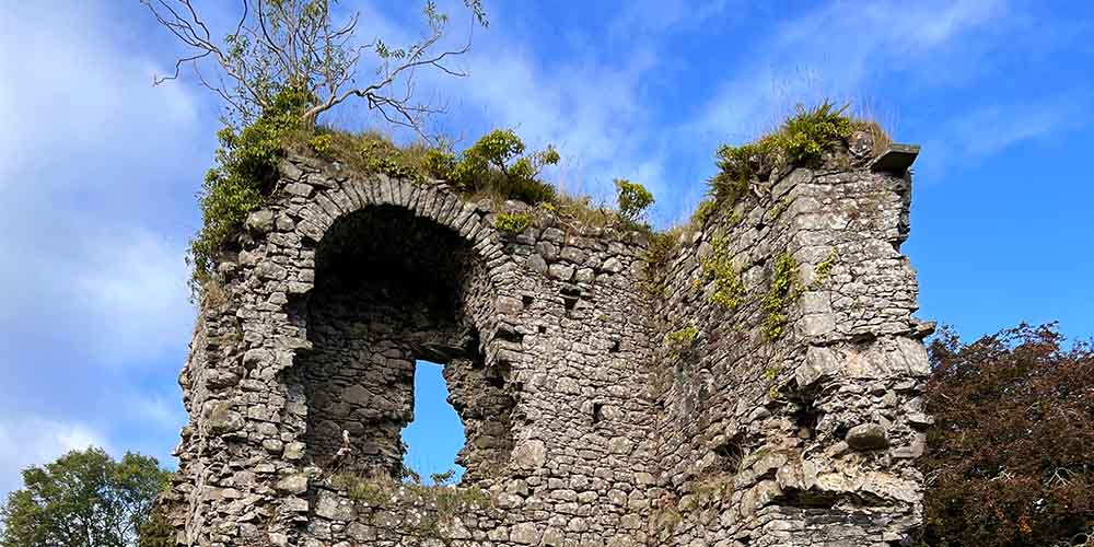 CASTLE (REMAINS OF): BALLYLOUGH CASTLE in Ballylough MoreCASTLE (REMAINS OF): BALLYLOUGH CASTLE · 1.7 mi
 Runkerry Stand (Bushfoot)Beach / strand · 1.8 mi
 Mermaid CaveCave · 2.3 mi
Other information
Photo: Credit not shown in the picture search · Rights wording not checked; contact us if this picture should be removed