
What is recorded here
Flower Hill House stood in County Antrim during the seventeenth century before destruction removed its walls. The lost castle may have watched the hill with proud windows, but no chamber remains for modern hands to touch.
The official Northern Ireland record identifies this as CASTLE (destroyed): FLOWER HILL HOUSE. Recorded period: C17TH. The official map point was placed at the centre of the recorded archaeological site from the source map reference.
Built in the 17th century, Flower Hill House is remembered as a documented but now-destroyed castle site in Northern Ireland, reflecting early modern defensive or aristocratic architecture in the region.
The monument record does not grant public access. Check the route and ask the landowner before entering private land.
- What survives
- Recorded monument
Places near here
 A.P. SITEA.P. SITE, possible enclosure · 1455 yd
 MOUND or ENCLOSURE (rath?) (O.S. memoir site: unlocated) in BallynessMOUND or ENCLOSURE (rath?) (O.S. memoir site: unlocated) · 1541 yd
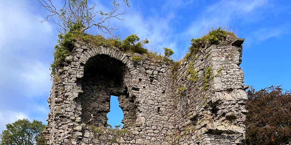 CASTLE (REMAINS OF): BALLYLOUGH CASTLE in Ballylough MoreCASTLE (REMAINS OF): BALLYLOUGH CASTLE · 1.2 mi
 Dunluce Presbyterian ChurchChurch · 1.4 mi
 Old Bushmills DistilleryHeritage attraction · 1.7 mi
 The Old Bushmills DistilleryFactory · 1.7 mi
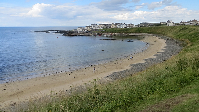 Portballintrae BeachBeach / strand · 2.5 mi
 C18TH HOUSE on site of C17TH CASTLE in BallymagarryC18TH HOUSE on site of C17TH CASTLE · 2.6 mi
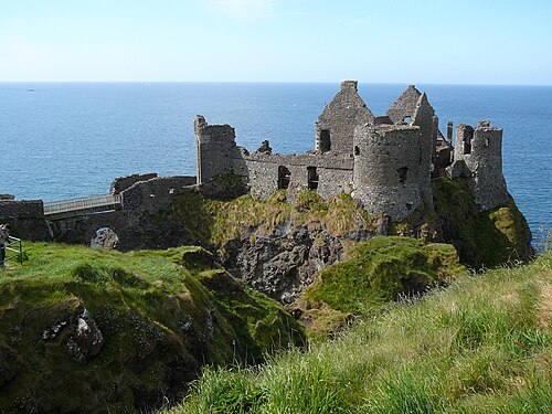 Dunluce CastleHeritage attraction · 2.6 mi
 Mermaid CaveCave · 2.6 mi
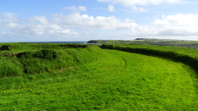 Lissanduff EarthworksNature reserve · 2.6 mi
 Runkerry BeachVisitor information · 2.7 mi
Other information
Photo: Credit not shown in the picture search · Rights wording not checked; contact us if this picture should be removed