What is recorded here
St. Mogawoge’s wall stands in ruins beside a graveyard and holy well at Magheranagaw, Thanelagh, County Antrim. The medieval church has lost its roof and most of its shape, yet the wall, graves and water remain marked as one place. People may have prayed there, buried their dead there and drawn water from the well for generations before the building collapsed into grass and silence.
The official Northern Ireland record identifies this as MEDIEVAL CHURCH (in ruins) & GRAVEYARD with HOLY WELL: ST. MOGAWOGE'S WALL, MAGHERANAGAW, THANELAGH. Recorded period: MEDIEVAL; UNCERTAIN. The official map point was placed at the centre of the recorded archaeological site from the source map reference.
Medieval ecclesiastical site, likely 12th to 16th century, featuring a ruined church, graveyard, and holy well. It is associated with St. Mogawoge and reflects the tradition of early Christian pilgrimage and sacred water sites in Ireland.
The monument record does not grant public access. Check the route and ask the landowner before entering private land.
- What survives
- Recorded monument
Places near here
 ENCLOSURE? (O.S. memoir site, unlocated) in DerrycloneENCLOSURE? (O.S. memoir site, unlocated) · 1070 yd
 ENCLOSURE in DerrycloneENCLOSURE · 1635 yd
 Ellis GutBay · 1.1 mi
 St.Patrick's Rc ChurchChurch · 1.6 mi
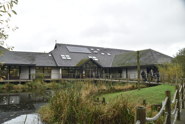 Lough Neagh Discovery CentreHeritage attraction · 2.6 mi
 Lignaboy PointHeadland · 2.9 mi
 Lurgan CollegeSchool · 3.3 mi
 Brownlow HouseMuseum · 3.6 mi
 C17TH CHURCH & GRAVEYARD: BALLINDERRY NEW CHURCH in BallinderryC17TH CHURCH & GRAVEYARD: BALLINDERRY NEW CHURCH · 4.5 mi
 CASTLE (site of): MOIRA CASTLE in RiskCASTLE (site of): MOIRA CASTLE · 4.7 mi
 Ram's IslandIslet · 5.0 mi
 Waringstown Red WoodsForest · 6.0 mi