
What is recorded here
Section of random rubble stone boundary wall, c.1840, with lime mortar, and cut-stone coping. Repaired, c.1865. Road fronted forming boundary to Mayfield House estate.
A section of boundary wall constructed in the traditional manner, which assimilates well into the surrounding landscape, and which forms an attractive feature of unassuming quality in the street scene.
This does not grant access. Most recorded buildings are privately owned; view them only from public ground unless the owner allows entry.
Places near here
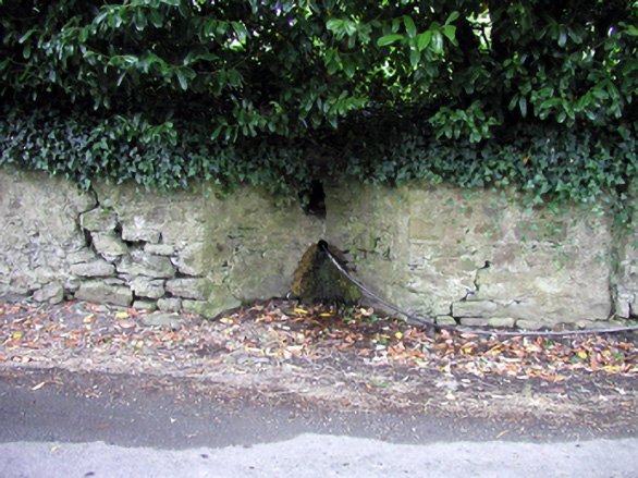 Shaw's SpoutOfficially recorded historic building · 58 yd
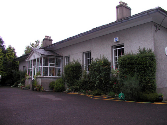 Woodviewhouse · 89 yd
 Portlaw Heritage CentreMuseum · 338 yd
 Portlaw WoodForest · 1667 yd
 Embanked enclosureFairy fort / earthen ringfort · 1.1 mi
 Beallough WoodForest · 1.2 mi
 Rockets Castle (in ruins)Castle, tower house · 1.3 mi
 CastleCastle, unclassified · 1.3 mi
 Enclosure in GuilcaghEnclosure · 1.4 mi
 Donnell's HillMountain / peak · 1.4 mi
 Tower HillMountain / peak · 2.5 mi
 Waterford & Suir Valley RailwayHeritage attraction · 4.3 mi
Other information
Photo: Mike Searle · CC BY-SA 2.0