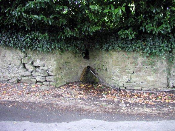
What is recorded here
Section of random rubble stone wall, c.1830, on a shallow concave plan incorporating circular opening with sections of random rubble stone flanking walls having pair of rubble stone piers to south-east possibly originally flanking gateway opening. Road fronted.
A subtle feature in the streetscape that is of significance for its original use as a communal source of clean drinking water in Portlaw. The traditional construction in unrefined rubble stone assimilates attractively into the surrounding landscape.
This does not grant access. Most recorded buildings are privately owned; view them only from public ground unless the owner allows entry.
Places near here
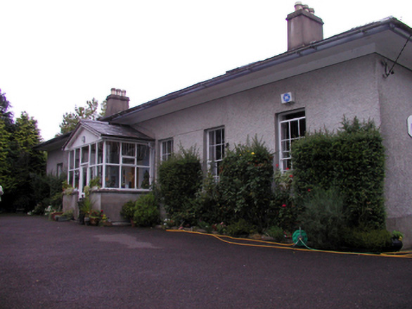 Woodviewhouse · 35 yd
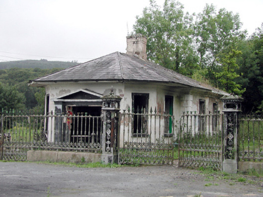 Mayfield Housegate lodge · 113 yd
 Portlaw Heritage CentreMuseum · 282 yd
 Portlaw WoodForest · 1668 yd
 Beallough WoodForest · 1.2 mi
 CastleCastle, unclassified · 1.3 mi
 Rockets Castle (in ruins)Castle, tower house · 1.3 mi
 Enclosure in GuilcaghEnclosure · 1.4 mi
 Donnell's HillMountain / peak · 1.4 mi
 Hearth in MountboltonHearth · 1.6 mi
 Tower HillMountain / peak · 2.5 mi
 Waterford & Suir Valley RailwayHeritage attraction · 4.2 mi
Other information
Photo: National Inventory of Architectural Heritage · Website use allowed for educational or private purposes with source credit