What is recorded here
Maw Island was a twenty-metre crannog in the centre of Lough Rinn, recorded on maps from 1750 to 1835 before the water took it back. The lake keeps its shape, but the island has vanished from sight, leaving only a hidden base beneath the surface. What remained there may have been a home, a shelter or a marker, yet the water removed the proof.
Located in the centre of Lough Rinn (dims c. 3.8km N-S; c. 200-400m E-W). A small island is depicted on an estate map (Wogan 1750, 23), and it is also depicted (diam. c. 20m) on the 1835 edition of the OS 6-inch map where it is described as ‘Maw Island’. Kane (1885-6, 408) lists this island as one of the crannogs of Lough Rinn. This feature has disappeared and cannot be identified from the surface, but its base might still survive.
Compiled by: Michael Moore
Date of upload: 6 January 2020
The monument record does not grant public access. Check the route and ask the landowner before entering private land.
- What survives
- Recorded monument
Places near here
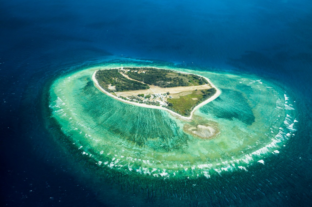 Lady Elizabeth's IslandIslet · 341 yd
 CastleCastle, tower house · 462 yd
 Western HemlockWestern Hemlock · 543 yd
 Holm OakHolm Oak · 603 yd
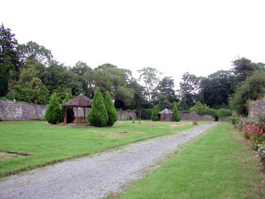 Lough Rynn Housewalled garden · 649 yd
 Druid's AltarArchaeological place · 756 yd
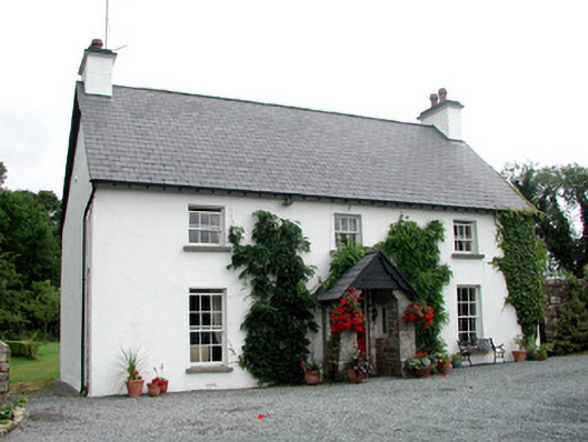 Clooncoe Househouse · 789 yd
 Duck IslandIslet · 1511 yd
 Holy WellHoly well · 1621 yd
 OratoryCastle, tower house · 1.4 mi
 Giant's GraveArchaeological place · 1.7 mi
 Turlough O'Carolan MonumentHeritage attraction · 2.5 mi