What is recorded here
Located in the centre of Lough Rinn (dims c. 3.8km N-S; c. 200-400m E-W). A small island is depicted on an estate map (Wogan 1750, 23), and it is also depicted (diam. c. 20m) on the 1835 edition of the OS 6-inch map where it is described as ‘Maw Island’. Kane (1885-6, 408) lists this island as one of the crannogs of Lough Rinn. This feature has disappeared and cannot be identified from the surface, but its base might still survive.
Compiled by: Michael Moore
Date of upload: 6 January 2020
The monument record does not grant public access. Check the route and ask the landowner before entering private land.
- What survives
- Recorded monument
Places near here
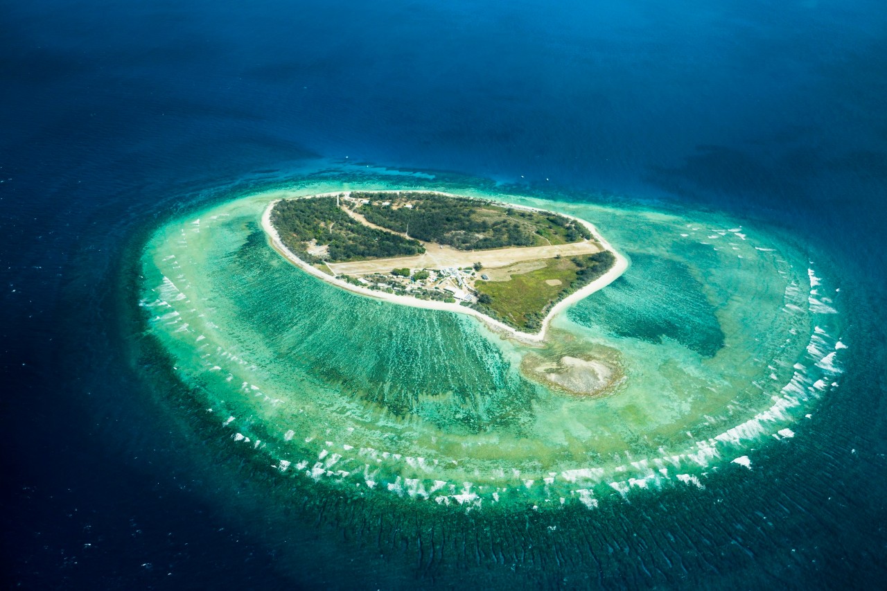 Lady Elizabeth's IslandIslet · 341 yd
 CastleCastle, tower house · 462 yd
 Western HemlockWestern Hemlock · 543 yd
 Holm OakHolm Oak · 603 yd
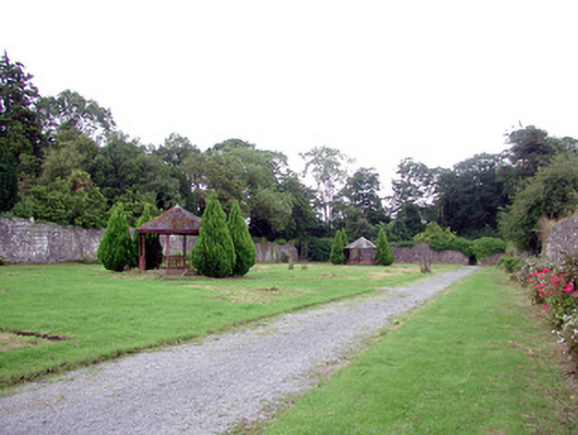 Lough Rynn Housewalled garden · 649 yd
 Druid's AltarArchaeological place · 756 yd
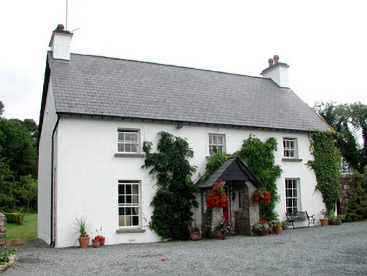 Clooncoe Househouse · 789 yd
 Duck IslandIslet · 1511 yd
 Holy WellHoly well · 1621 yd
 OratoryCastle, tower house · 1.4 mi
 Giant's GraveArchaeological place · 1.7 mi
 Turlough O'Carolan MonumentHeritage attraction · 2.5 mi