
What is recorded here
From OpenStreetMap (© OpenStreetMap contributors) n332373052
Places near here
Photo credits
- Maker not stated on source page, www.pinterest.com
- Jane Carver, Wikimedia Commons · CC BY-SA 2.0
- Ernest Riordan, Geograph · CC BY-SA 2.0
- Maker not stated on source page, commons.wikimedia.org
- Maker not stated on source page, global-geography.org
- Maker not stated on source page, www.alamy.com
- Maker not stated on source page, www.flickr.com
- Ian S, Wikimedia Commons · CC BY-SA 2.0
- Maker not stated on source page, www.cntraveller.com
- Maker named on the Wikimedia Commons picture page · Public domain
- Norman Ekin, Geograph · CC BY-SA 2.0
 Standing stone in CousaneStanding stone · 1342 yd
Explorer Tom Standing stone in Cousane would tell a teenager that 1800s was basically Instagram with worse filters. It leans on the…
 Nowen HillMountain / peak · 1.8 mi
Explorer Tom Nowen Hill stands above Dunmanway in West Cork as if watching you climb from below. It is the district's high point…
 Nowen Hill sw TopMountain / peak · 1.9 mi
Explorer Tom Nowen Hill sw Top is having a bit of a tantrum about its name sounding like a sneeze. It claims to be teaching history…
 Enclosure in Farnanes (carbery E. (w.d) By.)Enclosure · 2.0 mi
Explorer Tom Enclosure in Farnanes By. is wearing conifer trees like a bad 90s hairstyle, hiding its little 18-metre secret…
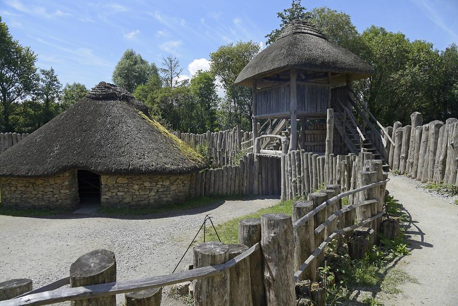 Fairy fort / earthen ringfort in CahermuckeeFairy fort / earthen ringfort · 2.8 mi
Explorer Tom Cahermuckee’s fort is sitting on a slope overlooking the Owvane River, looking very pleased with itself because it has…
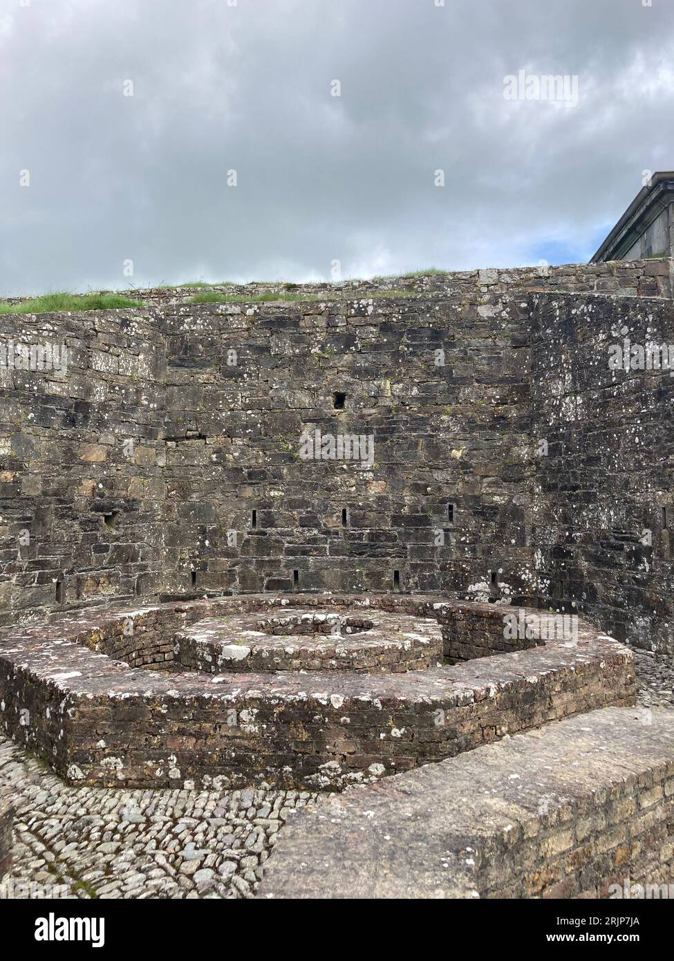 Fairy fort / earthen ringfort in Cappaboy MoreFairy fort / earthen ringfort · 3.3 mi
Explorer Tom Fairy fort / earthen ringfort in Cappaboy More is a large raised platform where a goat once ruled with absolute…
 Anomalous stone group in Drombohilly LowerAnomalous stone group · 20 mi
Explorer Tom Anomalous stone group in Drombohilly Lower would review its visitors as 'adequate but damp'. It’s just four stones…
 Cow IslandIsland · 23 mi
Explorer Tom Cow Island is probably having a secret party when nobody's looking, complete with bad music and damp grass. It’s got…
 Yew IslandIslet · 23 mi
Explorer Tom Yew Island thinks Dublin tourists are like pigeons: noisy, slightly annoying, but ultimately harmless if you ignore…
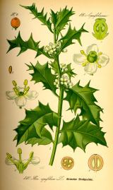 English holly24 mi
Explorer Tom English holly in County Kerry would complain to the council about the amount of bird droppings on its branches. It’s…
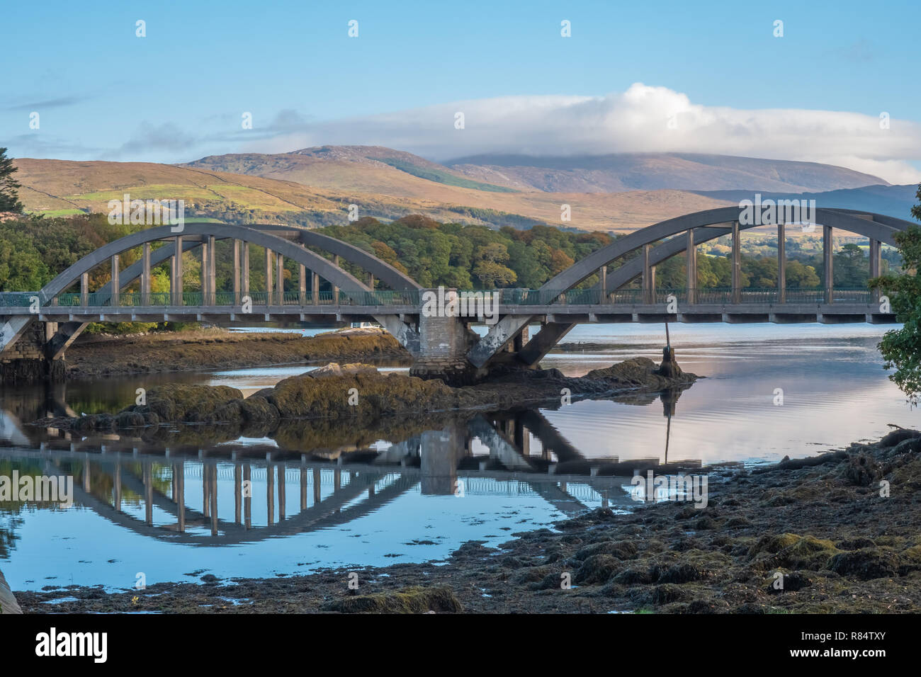 Very small BridgeVisitor attraction · 24 mi
Explorer Tom Very small Bridge has very strong opinions about modern buildings, particularly that they are all too big and not…
 Devil's Ladder RouteWalking route · 27 mi
Explorer Tom Devil's Ladder Route in County Kerry is playing hide-and-seek with me. Local legend says a giant dropped it there after…
More mountains and hills in County Cork · All of County Cork

What do you know about this place?Tap to add a comment or ask a question