What is recorded here
In rough pasture N of rock outcrop, land falls steeply to N. Two sandstone slabs set on edge at approx. right angles (L 0.62m; H 0.55m; Wth 0.14m) (L 1.33m; H 0.78m; Wth 0.13m). Large slab (L 1.55m; H 1.38m; Wth 0.18m) resting on them and on ground to W. Known locally as "mass rock".
The above description is derived from the published 'Archaeological Inventory of County Cork. Volume 1: West Cork' (Dublin: Stationery Office, 1992). In certain instances the entries have been revised and updated in the light of recent research.
Date of upload/revision: 14 January 2009
The monument record does not grant public access. Check the route and ask the landowner before entering private land.
- What survives
- Recorded monument
Places near here
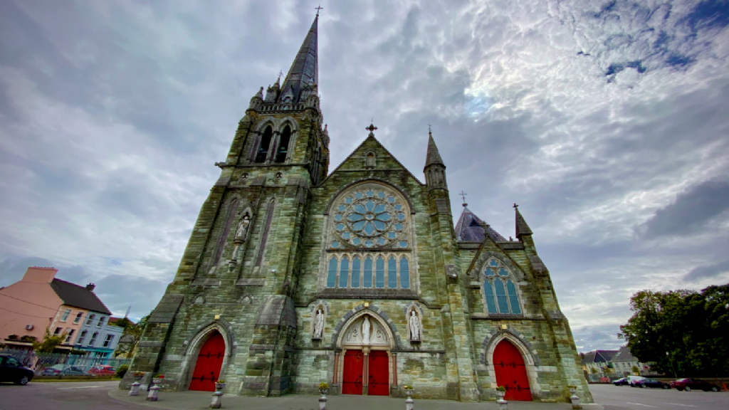 Kilcarriel Church (in Ruins)Church · 330 yd
 Enclosure in BallyvonaneEnclosure · 1384 yd
 Fulacht FianFulacht fia · 1734 yd
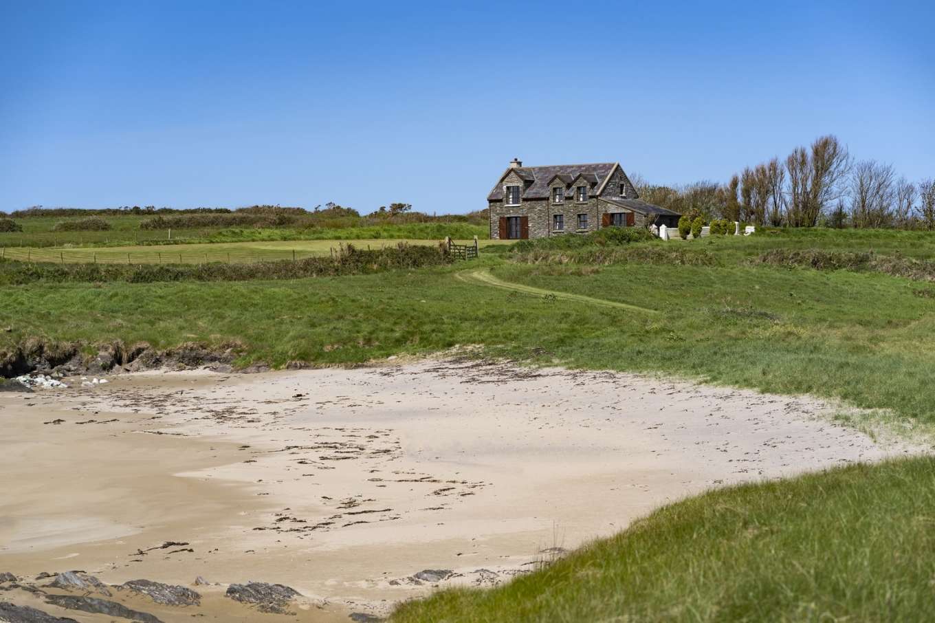 Horse IslandIslet · 1.2 mi
 Castle (Site of)Castle, unclassified · 1.4 mi
 Dunmanus Castle (in Ruins)Castle, tower house · 1.6 mi
 Dunmanus PointHeadland · 1.6 mi
 Cold IslandIslet · 1.8 mi
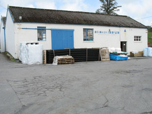 Drinagh Co-operative Ltd.creamery · 1.8 mi
 KnockaughnaMountain / peak · 2.3 mi
 AltarViewpoint · 2.3 mi
 Dunmanus BayBay · 2.6 mi