
What is recorded here
The Grave stands behind the old school on Inishtrahull, a square chamber of upright slabs beside living rock where two flat stones once served as a mass-rock. Those stones are gone now, taken from their place and lost to history, though local memory claims a cross was carved into their surface. What remains is an empty box open to the northern sky, holding only the shadow of the worship that vanished with the rock.
On the N side of the island, behind the old school built in 1901, is a feature known as 'The Grave' (DG002A001001-). It consists of a series of upright slabs (height c. 0.75m) forming two sides of a square c. 4m x 4m. The third side is formed by the face of rock outcrop which the feature adjoins; the fourth side is open. Internally against the W slab-wall are two flat slabs horizontally laid. These flat slabs are known locally as the Mass Rock. A flat stone nearby has a depression resembling a bullaun (DG002A001002-) ehich is no longer visible at the site. The Mass-Rock has recently been taken from its location and its current whereabouts are unknown. According to local information the mass rock had a cross inscribed onto its surface. Inishtrahull island is about 6 miles NE of Malin Head and is the most northerly point of Ireland.
Compiled by: Caimin O'Brien
Date of upload/revision: : 08 September 2010
The monument record does not grant public access. Check the route and ask the landowner before entering private land.
- What survives
- Recorded monument
Places near here
 Inishtrahull SchoolRuins · 26 yd
 InishtrahullIsland · 352 yd
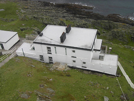 Inishtrahull Lighthouselighthouse keeper's house · 363 yd
 Doherty's Dun / Ballygorman Coastal FortPromontory fort, coastal · 5.0 mi
 Malin Well Eastern Coastal Promontory FortPromontory fort, coastal · 5.3 mi
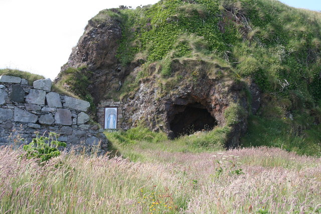 Wee House of Malin CaveCave · 5.5 mi
 Pebble StrandBeach / strand · 6.1 mi
 EIRE 80 signSecond World War neutrality sign · 6.3 mi
 Wild Atlantic Way:Malin HeadVisitor information · 6.4 mi
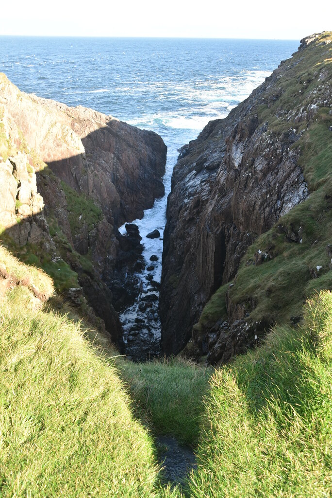 Hell's Hole Cavern, Malin HeadSea cavern and cliff chasm · 6.9 mi
 SkildrenbegIslet · 7.2 mi
 Devil's Bridge, Malin HeadNatural rock arch · 7.2 mi
Other information
Photo: Credit not shown in the picture search · Rights wording not checked; contact us if this picture should be removed