What is recorded here
Bank harbour holds a thick stone slab beside its pier, large enough for several people to gather around before a storm. Local people surrounded the rock with heavy boulders in 1988 because the sea kept taking the ground beneath it. The harbour still owns the story, changing the shape of the place rather than disappearing altogether.
Just NE of pier on Bank Harbour and surrounded by rock outcrop to W, NW and NE. Slab (4.35m x 1.75m; 0.8m thick) known locally as 'mass rock'; surrounded by large boulders in 1988 by local people to stop erosion by sea (pers. comm Connie Murphy N.T. Castletownbear).
The above description is derived from the published 'Archaeological Inventory of County Cork. Volume 1: West Cork' (Dublin: Stationery Office, 1992). In certain instances the entries have been revised and updated in the light of recent research.
Date of upload/revision: 14 January 2009
The monument record does not grant public access. Check the route and ask the landowner before entering private land.
- What survives
- Recorded monument
Places near here
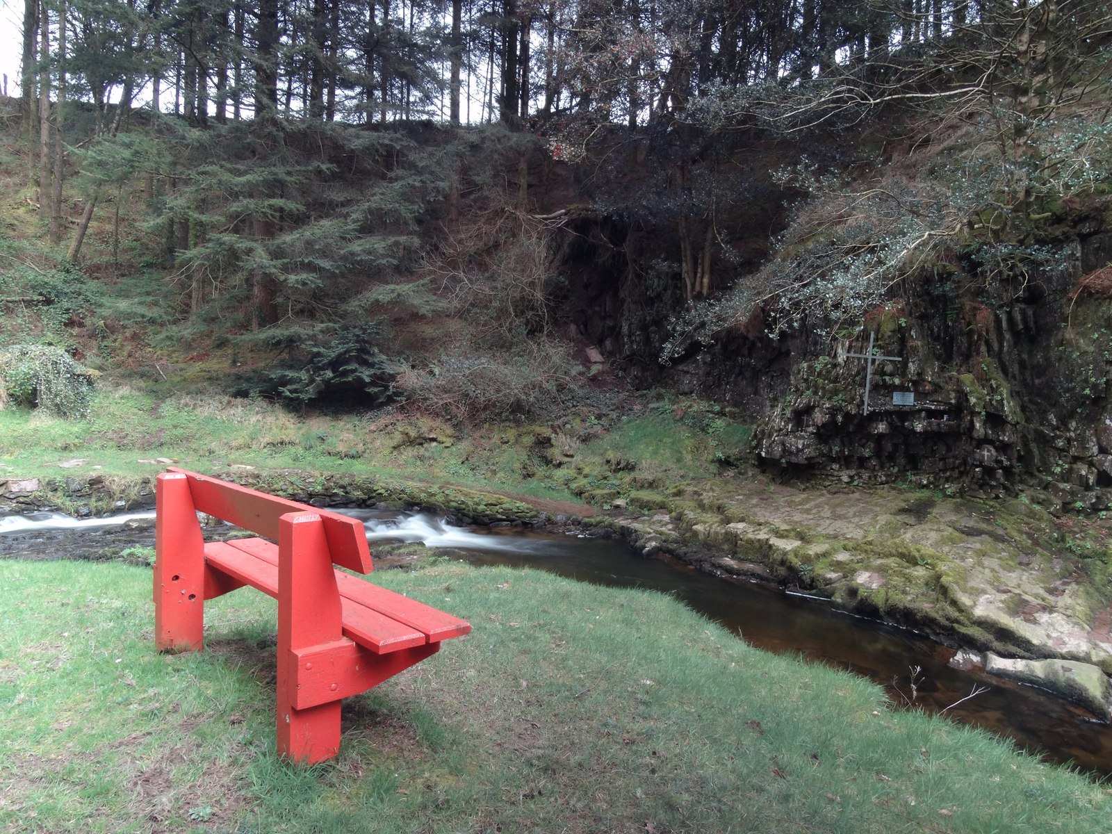 Mass-rock in ArdaganniveMass-rock · 598 yd
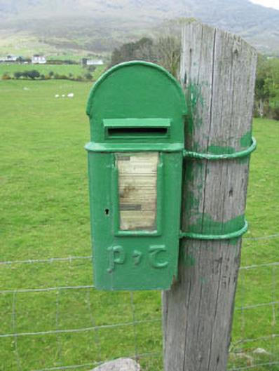 post boxpost box · 946 yd
 IndicatedFairy fort / earthen ringfort · 1490 yd
 Pier/Jetty in Ardaragh EastPier/Jetty · 1.6 mi
 Rerrin LoopWalking route · 1.6 mi
 Loughure IslandIslet · 1.8 mi
 Hungry HillMountain / peak · 1.8 mi
 Turk IslandIslet · 1.8 mi
 Holly HillMountain / peak · 1.9 mi
 TrawnablahaBeach / strand · 2.0 mi
 Mare's Tail WaterfallViewpoint · 2.3 mi
 Battle of Bantry BayMajor battlefield · 3.3 mi