What is recorded here
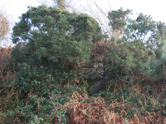
Situated in a rough, wet, scrub-covered, secluded, steep N-facing mountain side. The monument comprises a roughly-built altar dating to the period when the Penal Laws were in force. The altar is an irregularly-shaped slab (L 0.7m; Wth. 0.42m; H 0.3m) aligned NW-SE. This is supported on its NE side by a single boulder and on both its NW and SE sides by a relatively large uprights topped by narrow, horizontally placed, packing slabs to achieve a relatively level surface . The SW side, presumably where the sacred vessels etc. were temporarily held, is left open.
NW side:
Upright stone - H 0.3m; L 0.25m; Wth. 0.25m
Slab 1 - H 0.1m; L & Wth. as above
Slab 2 - H 0.04m; L & Wth. as above
SE side:
Basal stone - H 0.25m; L 0.05m; Wth. 0.4m
Slab 1 - H 0.07m
A short distance NW is a recently-erected cairn bearing the date 1980.
This mass-rock is associated with the clandestine Catholic worship that took place during the Penal Laws era in Ireland, when open practice of the Catholic faith was forbidden. Such sites were used by priests and congregations to hold Mass in secret, often in remote and hidden locations to avoid detection by authorities.
The monument record does not grant public access. Check the route and ask the landowner before entering private land.
- What survives
- Recorded monument
Places near here
 mass rockmass rock · 2 yd
 Former Ballymacool Fairy FortFairy fort / ringfort · 428 yd
 St. Eunan's Collegecollege · 813 yd
 Ballymacool Drumhill Fairy Fort and CaveFairy fort / ringfort · 1145 yd
 Bawn in LetterkennyBawn · 1384 yd
 Donegal County MuseumMuseum · 1427 yd
 PoleStar MonumentHeritage attraction · 1.6 mi
 Battle of Scarrifholisbattle · 2.4 mi
 Site of Castle SollusCastle, unclassified · 2.4 mi
 Gregory HillMountain / peak · 2.6 mi
 Stackarnagh Abbey GraveyardGraveyard · 4.2 mi
 BallykeeranForest recreation place · 4.7 mi