
What is recorded here
Stone built ruins of mass-house remain. Date 1753 AD on slab.
Compiled by: Fiona Maguire (The Archaeology Company)
Date of upload revision: 28 March 2006
The monument record does not grant public access. Check the route and ask the landowner before entering private land.
- What survives
- Recorded monument
Places near here
 Ecclesiastical site in Kilmore (muskerry West By.)Ecclesiastical site · 1203 yd
 Fulacht fia in TurnaspidogyFulacht fia · 1625 yd
 MillMill, fulling · 1725 yd
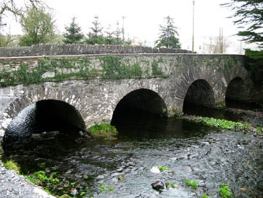 bridgebridge · 1.2 mi
 CarriganineMountain / peak · 2.7 mi
 Mount ProspectMountain / peak · 2.9 mi
 Gortnahoughtee Mass RockNamed rock · 3.8 mi
 Sli Gaeltacht MuscraiWalking route · 3.9 mi
 Carrignacurra CastleCastle · 4.2 mi
 Port Ban Nature Reserve, Irish Wildlife TrustNature reserve · 4.3 mi
 European long distance path E8 - part IrelandWalking route · 4.5 mi
 Gougane BarraValley and heritage place · 4.8 mi
Other information
Photo: Credit not shown in the picture search · Rights wording not checked; contact us if this picture should be removed