
What is recorded here
Martello Tower No. 16 (Kerrigan 1995, 170), built on the sandy foreshore at Sandymount in 1804. According to Kerrigan (1995, 168) construction of the Dublin area Martello Towers and their batteries commenced in 1804 under the supervision of Colonel Benjamin Fisher of the Royal Engineers and by December 1805 all towers…
Read the whole record
From the National Monuments Service (Archaeological Survey of Ireland) record DU019-018
Places near here
Photo credits
- Sarah777 at en.wikipedia, Wikimedia Commons · Public domain
- David Dixon, Geograph · CC BY-SA 2.0
- Maker not stated on source page, www.pinterest.com
- Maker not stated on source page, ie.pinterest.com
- Golfing in Ireland; photographer not stated, Source publisher
- Gallags6, Wikimedia Commons
- Maker not stated on source page, www.ireland.com
- Picture: 1792 print via eBay
- A.-K. D., Wikimedia Commons · CC BY-SA 4.0
- Maker not stated on source page, ca.pinterest.com
- Sheila1988 / Wikimedia Commons, commons.wikimedia.org
- Excellent Street Images; photographer not stated, Excellent Street Images
 Sandymount StrandBeach / strand · 372 yd
Explorer Tom Sandymount Strand is Dublin's invitation to walk out toward the sea and then remember the sea has a timetable of its…
 Merrion StrandBeach / strand · 1062 yd
Explorer Tom Merrion Strand bragged about surviving a storm that only existed in a pub conversation back in 1924. The water is so…
 CastleCastle, tower house · 1254 yd
Explorer Tom This Tower House is involved in a fierce fairy dispute over parking rights, and honestly, the gnomes are winning so…
 Stone head in Unknown TownlandStone head · 1262 yd
Explorer Tom Stone head in Dublin is hiding in plain sight near the coast. Situated within St. Mary's Home for the Blind, this…
 Elm Park Golf & Sports Club Golf ClubGolf course · 1328 yd
 Irishtown Nature ParkPark · 1426 yd
Explorer Tom Irishtown Nature Park is what happens when Dublin takes a pile of rubble, argues with it for a decade, and gives it a…
 Mapped cemeteryCemetery · 1482 yd
Explorer Tom Mapped cemetery in County Dublin claims it can hear everything you say through its walls, which is why I keep…
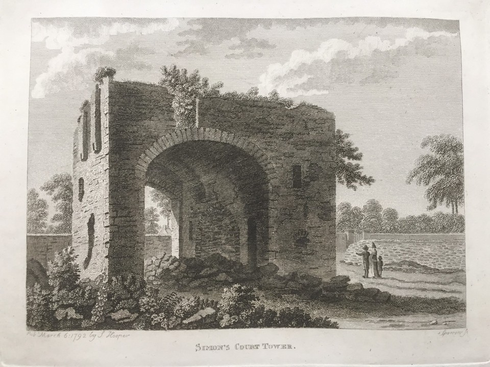 Simmonscourt CastleCastle, tower house · 1502 yd
Explorer Tom Simmonscourt Castle would complain to the council about its gate tower being the only thing left from the original…
 Saint Broc's WellSpring · 1509 yd
Explorer Tom Saint Broc's Well in County Dublin claims a saint named Broc lives there now. The plaque says he named the townland…
 Merrion CemeteryCemetery · 1637 yd
Explorer Tom Merrion Cemetery in County Dublin once received an offer from a very confused cow who thought the grass looked premium…
 Clanna Gael GAA, FontenoyGAA ground · 1663 yd
 Booterstown Nature ReserveNature reserve · 1740 yd
Explorer Tom Booterstown Nature Reserve is a stubborn pocket of marsh beside the coastal railway, where Dublin traffic must share…
More archaeology and monuments in County Dublin · All of County Dublin

What do you know about this place?Tap to add a comment or ask a question