What is recorded here
From OpenStreetMap (© OpenStreetMap contributors) w561848674
Places near here
Photo credits
- National Inventory of Architectural Heritage
- Maker not stated on source page, www.thejournal.ie
- Maker not stated on source page, www.alamy.com
- Maker not stated on source page, ru.wikipedia.org
- Maker named on the Wikimedia Commons picture page · CC BY-SA 2.5
- Maker not stated on source page, www.gettyimages.com.au
- Colin Park, Geograph · CC BY-SA 2.0
- Maker not stated on source page, www.pinterest.com
 Saint Mary's Catholic ChurchChurch/chapel · 95 yd
Explorer Tom Saint Mary's Catholic Church in Killamoat Lower is dressed up in 1840s Classical style with Harry Clarke glass that…
 Fairy fort / earthen ringfort in Killamoat LowerFairy fort / earthen ringfort · 600 yd
Explorer Tom Fairy fort in Killamoat Lower makes a sound at night that sounds exactly like a landlord trying to plough it but…
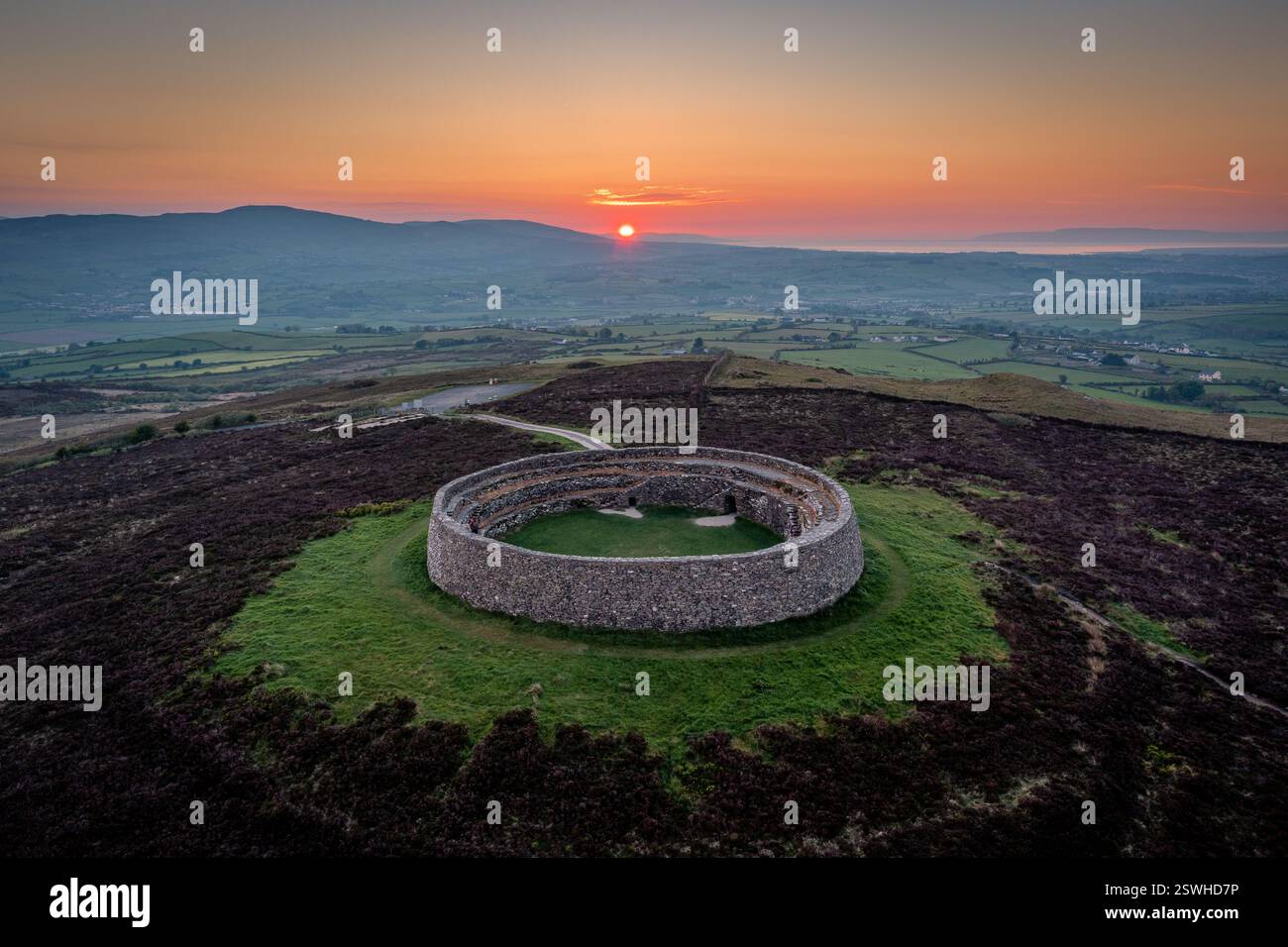 Fairy fort / ringfort in RathdanganFairy fort / ringfort · 824 yd
Explorer Tom Fairy fort / ringfort in Rathdangan is having a serious feud with the rain because its earth and stone bank keeps…
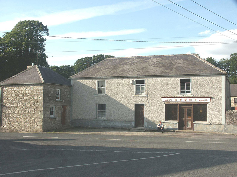 ByrneHouse · 1105 yd
Explorer Tom Byrne in Rathdangan is stuck in a feud over who actually owns the view from that shopfront. It’s got some pebble-dash…
 Fairy fort / ringfort in Highpark LowerFairy fort / ringfort · 1706 yd
Explorer Tom Fairy fort / ringfort in Highpark Lower is reviewing its own visitors with the enthusiasm of someone waiting for a bus…
 Enclosure in Bawnoge (talbotstown Upper By., Rathdangan Ed)Enclosure · 1732 yd
Explorer Tom Enclosure in Bawnoge is locked in a silent feud with the nearest tree, which has grown roots that are slowly strangling…
 Sessile Oak1.2 mi
Explorer Tom Sessile Oak in County Wicklow holds the unofficial world record for looking the most bored while standing perfectly…
Fairy fort / earthen ringfort in Danesfort Upper,fiddanFairy fort / earthen ringfort · 1.4 miExplorer Tom Fairy fort in Fiddan got split down the middle by a townland boundary, which is like getting your heart broken by a map…
Fairy fort / earthen ringfort in DrimFairy fort / earthen ringfort · 1.5 miExplorer Tom Fairy fort in Drim has three gaps in its wall, which is like having three different doors but no sign saying where to…
 Cranernin GraveyardGraveyard · 1.6 mi
Explorer Tom Cranernin Graveyard is having a massive row with the road that leads to it, claiming the tarmac is too noisy for its…
 SlievereaghMountain / peak · 2.6 mi
Explorer Tom Slievereagh in County Wicklow has a long grudge against the weather because it keeps raining on its parade every single…
 Mapped cemeteryCemetery · 3.2 mi
Explorer Tom Mapped cemetery would tell you after a few pints that the whole village used to bury their secrets here instead of…
More memorials and graveyards in County Wicklow · All of County Wicklow

What do you know about this place?Tap to add a comment or ask a question