What is recorded here
Mapped graveyard is a graveyard in County Tyrone, Ireland. Perhaps the stones stand in rows so complete they could be drawn without looking. Maybe the dead are not buried but placed, each body set like a stone in a mosaic. Imagine a graveyard where mapping is not the act of finding but the act of remembering the shape of loss.
Mapped graveyard is a graveyard in County Tyrone, Ireland.
Places near here
 St Mary's RC ChurchChurch · 43 yd
 ENCLOSURE in Drumenny BigENCLOSURE · 1212 yd
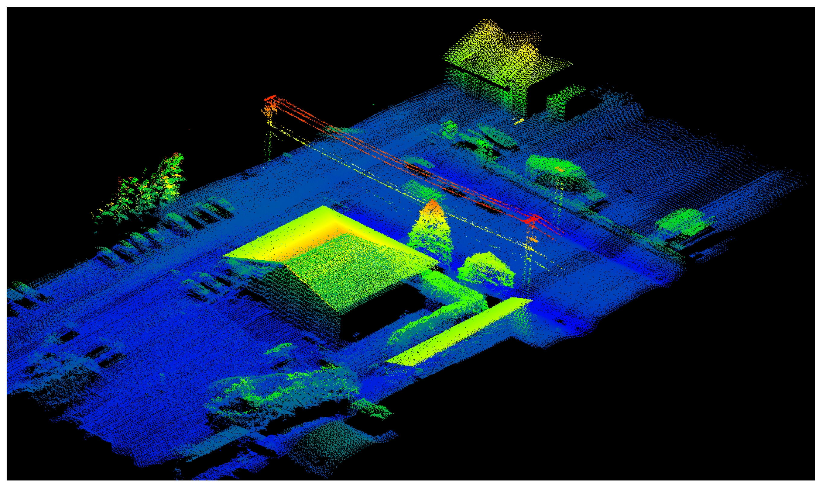 LiDAR site- Sub-circular enclosure in Lisdivin LowerLiDAR site- Sub-circular enclosure · 1624 yd
 BATTLE SITE: BATTLE OF THE FORDS, Northern crossing, 1689 in Ballydonaghy; Greenlaw; LeckpatrickBATTLE SITE: BATTLE OF THE FORDS, Northern crossing, 1689 · 1737 yd
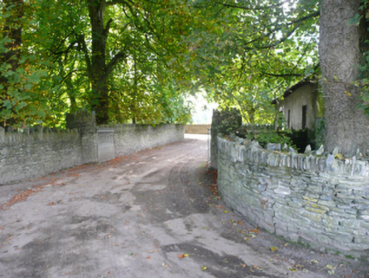 Porthall Housecountry house · 1.2 mi
 Mongavlin CastleHouse, fortified house · 2.2 mi
 Ballee WoodWood · 2.6 mi
 Round WoodWood · 2.7 mi
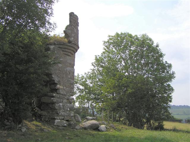 PLANTATION CASTLE: MOUNT CASTLE in MountcastlePLANTATION CASTLE: MOUNT CASTLE · 2.8 mi
 Gortmonly HillMountain / peak · 2.9 mi
 Battle of Knockavoe BattlefieldBattlefield · 3.1 mi
 Abercorn FactoryHeritage attraction · 3.9 mi