What is recorded here
Mapped graveyard is a graveyard in County Longford, Ireland. Perhaps the dead lie shallow there, close enough for living feet to press their knees into forgotten skin. Maybe the grass marks no boundary but a membrane, thinning each time someone walks the row without knowing whose breath still warms the soil. Imagine the graveyard mapping itself through you, drawing its lines with your shadow instead of ink.
Mapped graveyard is a graveyard in County Longford, Ireland.
Places near here
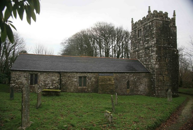 Grave YardGraveyard · 9 yd
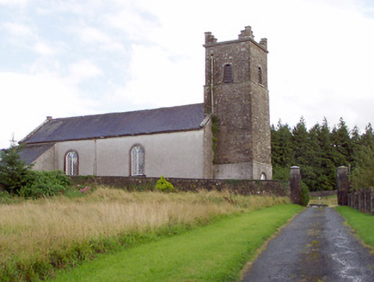 Saint Patrick's Church (Granard)church/chapel · 32 yd
 Granard MotteMotte-and-bailey castle remains · 112 yd
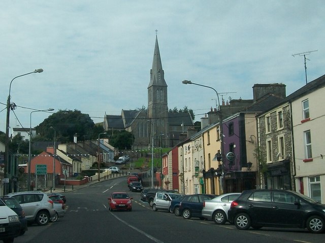 Saint Mary's Catholic Churchchurch/chapel · 120 yd
 CastleCastle, unclassified · 128 yd
 1798 Monumentmonument · 149 yd
 Moat of GranardCastle, motte and bailey · 161 yd
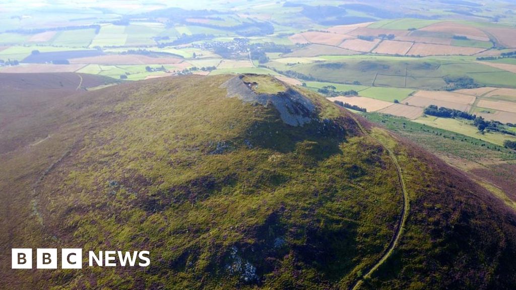 Hillfort in Granard,moatfield,teemoreHillfort · 166 yd
 CartronfreeMountain / peak · 3.1 mi
 Clonfin Ambush MemorialMemorial · 3.6 mi
 Derrycassan WoodsWood · 3.9 mi
 Cloonfin WoodForest · 3.9 mi