What is recorded here
Mapped graveyard is a graveyard in County Donegal, Ireland. Perhaps the stones lean toward the Atlantic because they are listening for ships that never returned. Maybe the dead do not sleep in Donegal; they wait for the living to remember the shape of their names. Imagine walking past rows of forgotten people while the rain erases the boundary between the world of the living and the world of the dead.
Mapped graveyard is a graveyard in County Donegal, Ireland.
Places near here
 Saint Mary's Catholic Churchchurch/chapel · 65 yd
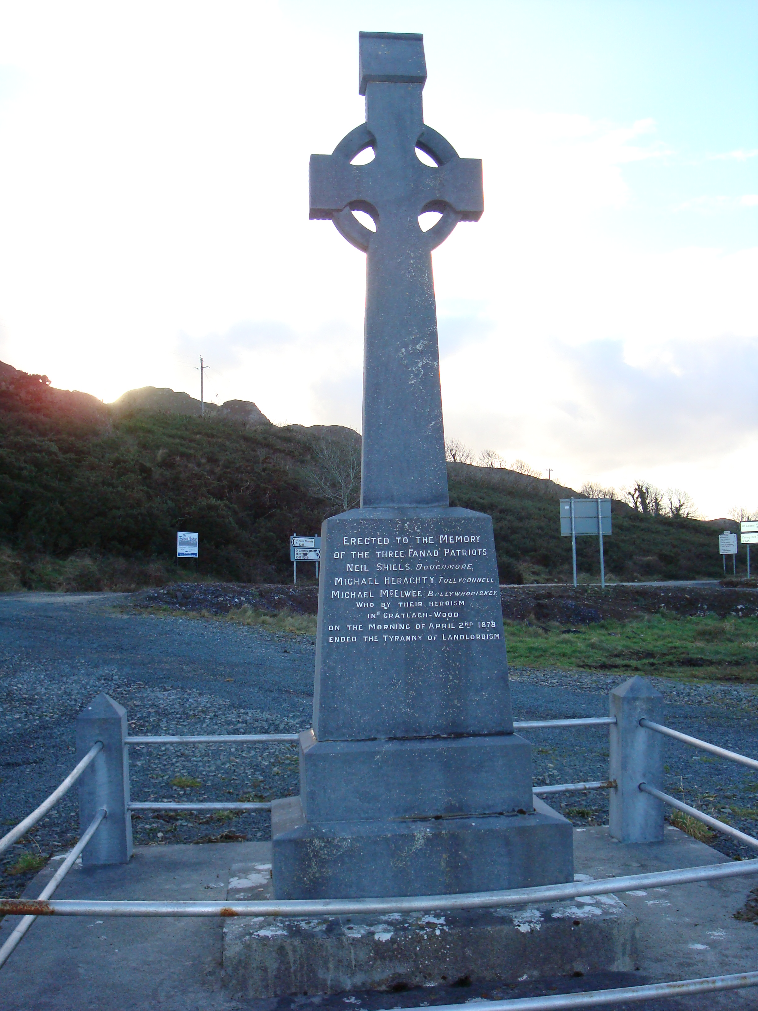 Fanad Patriots Monumentmonument · 769 yd
 Baile Thiarnáin Ridge Stone RingfortFairy fort / stone ringfort · 881 yd
 Baile Thiarnáin Raised Fairy FortFairy fort / earthen ringfort · 895 yd
 Ballyhiernan, FanadOfficial bathing water · 1641 yd
 HazelHazel · 3.0 mi
 Moross CastleCastle, tower house · 3.0 mi
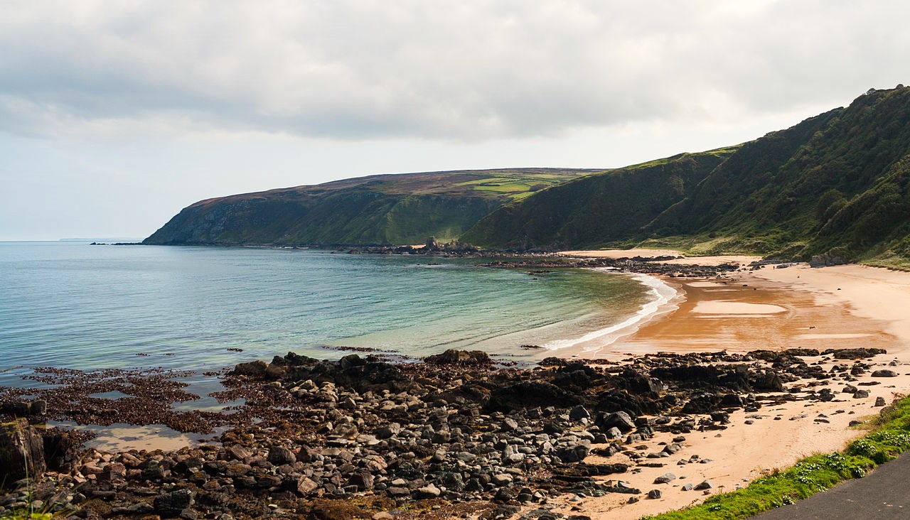 Drumnacraig BeachBeach / strand · 3.2 mi
 Old CastleCastle, unclassified · 3.3 mi
 Wych ElmWych Elm · 3.5 mi
 Fanad Head Lighthouse Visitor CentreVisitor information · 3.6 mi
 Fanad Headcoast · 3.6 mi