What is recorded here
From OpenStreetMap (© OpenStreetMap contributors) w682860247
Places near here
Photo credits
- Maker not stated on source page, commons.wikimedia.org
- Tom Heaney (nwpresspics), via Derry Journal, www.derryjournal.com
- Maker not stated on source page, www.edinburgharchitecture.co.uk
- Richard Webb, Wikimedia Commons · CC BY-SA 2.0
- Richard Webb, Geograph · CC BY-SA 2.0
- Kenneth Allen, Geograph · CC BY-SA 2.0
- Maker not stated on source page, www.pinterest.com
- Mary K Burke, via Derry Now, www.derrynow.com
- Nick W, Wikimedia Commons · CC BY-SA 2.0
- Kifster, Wikimedia Commons · CC BY-SA 3.0
- C Michael Hogan, Wikimedia Commons · CC BY-SA 2.0
 Standing stone in CarnanreaghStanding Stone · 887 yd
Explorer Tom Standing stone in Carnanreagh is hiding a ridiculous smuggling story that involves cheese and a very confused Viking.…
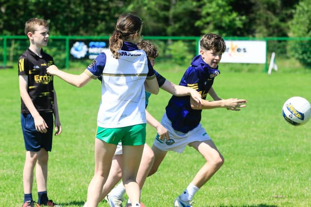 Gerard Crossan Park, St. Joseph's GAA, CraigbaneGAA ground · 901 yd
 Standing stone (O.S. memoir site, unlocated) in LoughtilubeStanding stone (O.S. memoir site, unlocated) · 1650 yd
Explorer Tom Standing stone (O.S. memoir site, Unlocated) in Loughtilube loves 'Bohemian Rhapsody' because it likes being dramatic…
 Learmount CastleCountry House · 1.4 mi
Explorer Tom Learmount Castle is a country house that thinks it’s better than you are. A cow once tried to buy it with a hoof-print…
 Learmount WoodWood · 1.4 mi
Explorer Tom Learmount Wood would order extra ketchup for its chips because it feels like it needs a bit of a kickstart to get…
 CrockdooishMountain / peak · 1.7 mi
Explorer Tom Crockdooish in County Derry once had a cow that tried to buy it with a bunch of old coins and a very persuasive moo.…
 Church & Graveyard: Straidarran or Ballyarran in StraidChurch & Graveyard: Straidarran or Ballyarran · 2.7 mi
Explorer Tom Straidarran or Ballyarran in Straid started because two lads bet a pint that they could build a church before sunset.…
 O'Neill Park, John Mitchel's GAA, ClaudyGAA ground · 3.0 mi
 Ballydonegan SweathouseVisitor information · 4.4 mi
Explorer Tom Ballydonegan Sweathouse in County Derry is where the seagulls go to complain about the salt content of the air. It’s a…
 Altinaghree CastleCastle · 4.7 mi
Explorer Tom Altinaghree Castle, also known as Ogilby’s, has a family tree so tangled even the lawyers gave up on it. It’s sitting…
 SawelMountain / peak · 4.9 mi
Explorer Tom Sawel Mountain straddles Derry and Tyrone, as if one county could not quite contain its opinion of itself. At 678…
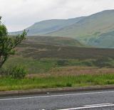 Sperrin MountainsMountain range · 5.0 mi
Explorer Tom The Sperrin Mountains in County Tyrone are involved in a fierce, ongoing feud over who gets to see the sunrise first…
More memorials and graveyards in County Derry · All of County Derry

What do you know about this place?Tap to add a comment or ask a question