What is recorded here
Manse Road Picnic Area is recorded as a picnic place in County Down. Its open map record supplies this location and any linked names or public references.
- Operator
- Newry, Mourne and Down District Council
Places near here
 Kilmorey Arms HotelHotel · 933 yd
 First Trust BankBank · 977 yd
 Robert Hill Hanna VC - First World War HeroVisitor information · 995 yd
 RATH; reused as MEDIEVAL CHURCH and GRAVEYARD: KILKEEL or ST.COLMAN del MOURNE in KilkeelRATH; reused as MEDIEVAL CHURCH and GRAVEYARD: KILKEEL or ST.COLMAN del MOURNE · 1041 yd
 PORTAL TOMB: THE CRAWTREE STONE in KilkeelPORTAL TOMB: THE CRAWTREE STONE · 1368 yd
 Hanna's Close WalkWalking route · 1.7 mi
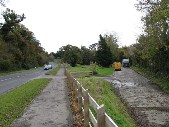 Whitewater Picnic Area & Disabled Fishing sitePicnic place · 2.8 mi
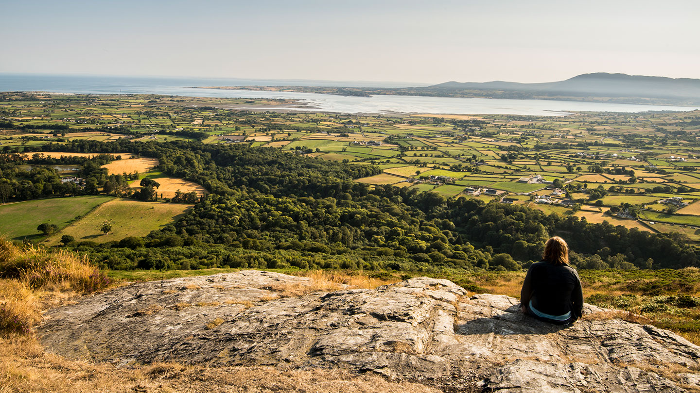 Mourne ParkWood · 2.9 mi
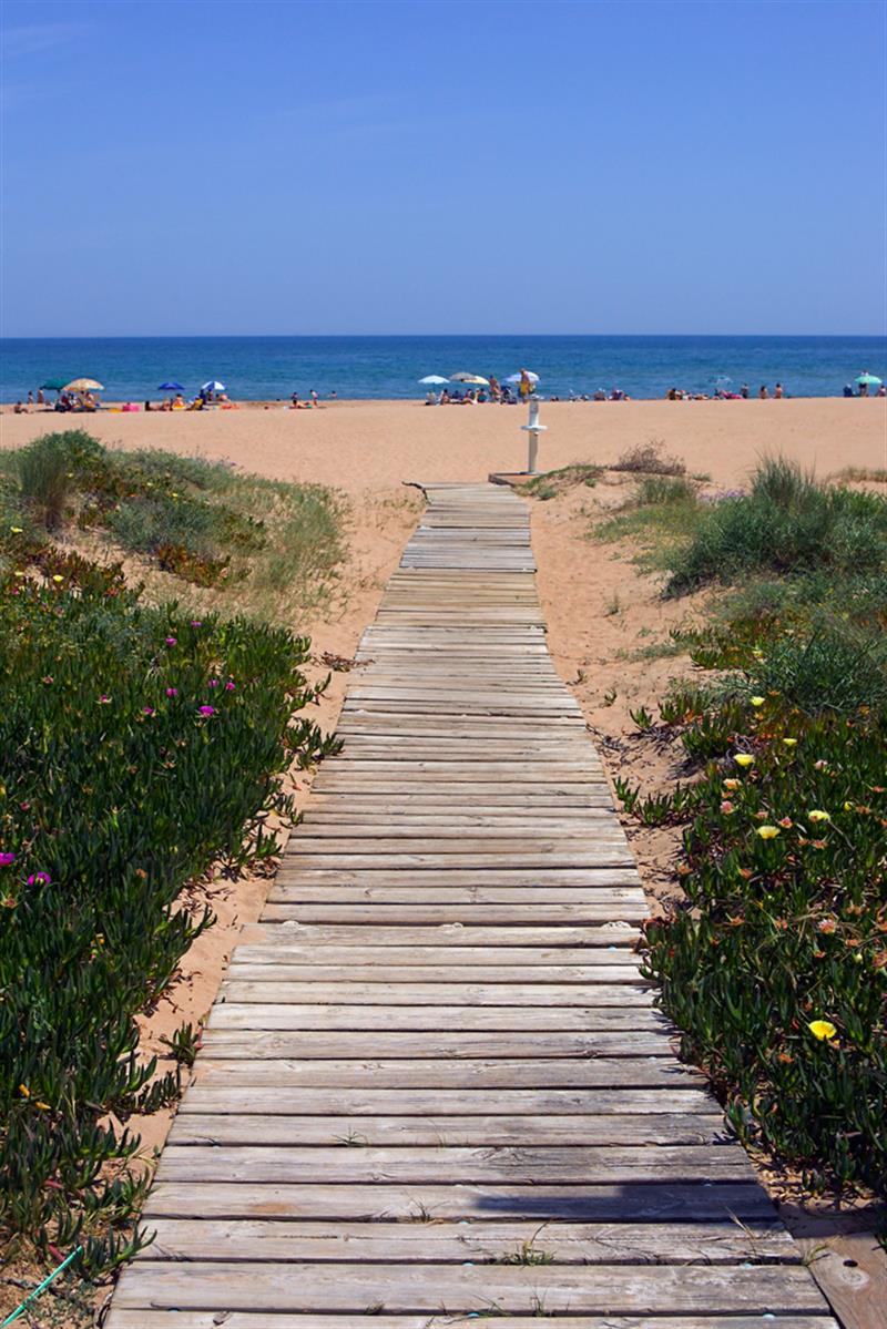 Beach - Costa del CeanfieldBeach / strand · 2.9 mi
 KnockchreeMountain / peak · 3.2 mi
 Cranfield PointHeadland · 3.3 mi
 Black RockHeritage attraction · 3.4 mi