What is recorded here
In undulating pastureland. Marked 'Man-made underground passage (Site of)' on the 1948 edition of the OS 6-inch map. On initial inspection in February 1984 no visible surface trace survived. However, during the course of farm development works in September 1994 a mechanical digger broke through one of the roof lintels when excavating an E-W running trench. Access to the Man-made underground passage was then possible through a small aperture. The Man-made underground passage (L 4.5m; Wth 1.2-1.55m), which was aligned N-S, extended off the SW end of the trench. It was filled with loose clay and varied in height from 0.25m at N to 0.5m at S. The side walls were constructed of random coursed drystone limestone and were battered slightly inwards towards the roof. A single course of corbels at the top of each wall provided support for the lintelled roof. In all five lintels were visible. There was no visible trace of a creep or a 2nd chamber. The broken roof lintel was exposed at a depth of 1.9m below the ground level and 5m away from the trench. Following the site inspection it was intended to backfill the trench. The Man-made underground passage itself would not be impacted by the proposed development.
Compiled by: Olive Alcock
Date of upload: 24 October 2019
This remains an important historical record, but the official description says the monument is no longer visible or has been destroyed. The monument record does not grant public access. Check the route and ask the landowner before entering private land.
- What survives
- No visible remains or recorded as destroyed
Places near here
 Yew IslandsIslet · 1400 yd
 Quarry in Claggernagh EastQuarry · 1486 yd
 Stonyisland BayBay · 1546 yd
 Puckady IslandIslet · 1549 yd
 Portumna Forest ParkForest · 1.1 mi
 Enclosure in SawnaghEnclosure · 1.3 mi
 Church (in ruins)Church · 1.3 mi
 Castle in ruinsCastle, unclassified · 1.4 mi
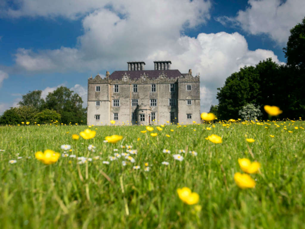 IndicatedFairy fort / earthen ringfort · 1.8 mi
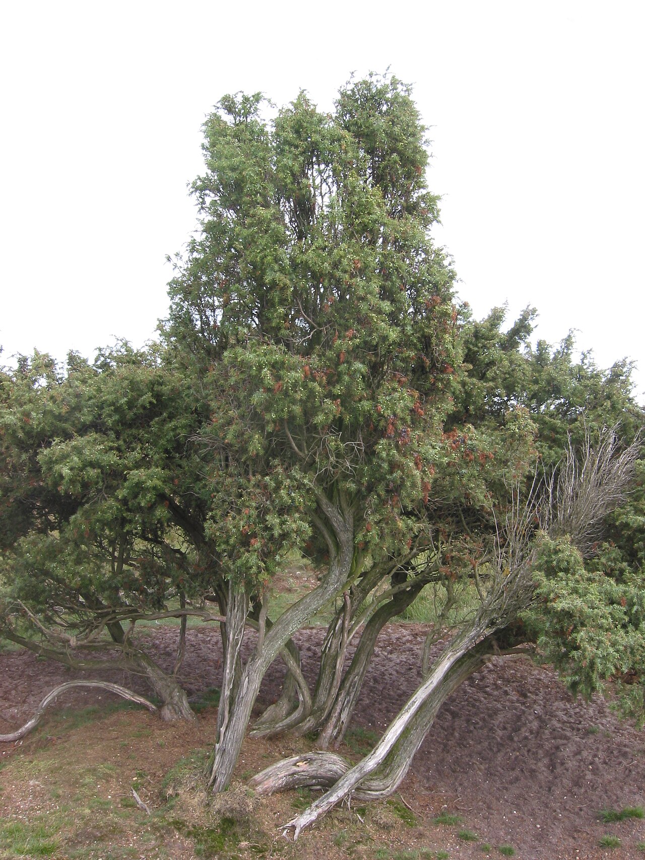 Common JuniperCommon Juniper · 2.1 mi
 Portumna Castlegate lodge · 2.1 mi
 Gate HouseCastle · 2.1 mi