What is recorded here
In pastureland. Marked on the 1838 edition of the OS 6-inch map as a rectangular field (c. 48m NW-SE; c. 43m NE-SW) with an external line of bushes along each side of it. A NE-SE roadway ran roughly across the centre of the interior and the area to the SE of it was completely planted with bushes. On the OS 1:2500 plan (surveyed 1912-16) the field wall is surrounded by a fosse or ditch (max. Wth c. 6m) and all the bushes have been cleared away. On inspection in February 1984 all that was visible on the ground was a low platform defined by a slight scarp that was barely identifiable around the N half of the monument. The N half of the interior was under tillage while the S half was under pasture. A lot of field boundaries in the area had been recently cleared. A local person regarded the monument as a ‘fort’ but had no recollection of what it looked like. Its outline is clearly visible on Google aerial photographs (Google 2018, last accessed 21 September 2018).
In pastureland. Marked on the 1838 edition of the OS 6-inch map as a rectangular field (c. 48m NW-SE; c. 43m NE-SW) with an external line of bushes along each side of it. A NE-SE roadway ran roughly across the centre of the interior and the area to the SE of it was completely planted with bushes. On the OS 1:2500 plan (surveyed 1912-16) the field wall is surrounded by a fosse or ditch (max. Wth c. 6m) and all the…
From the National Monuments Service (Archaeological Survey of Ireland) record GA126-071
The monument record does not grant public access. Check the route and ask the landowner before entering private land.
- What survives
- Recorded monument
Places near here
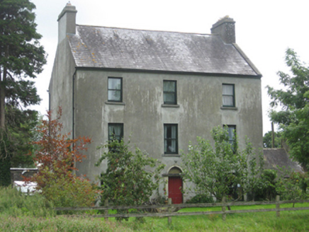 Killeen HouseMiller's house · 833 yd
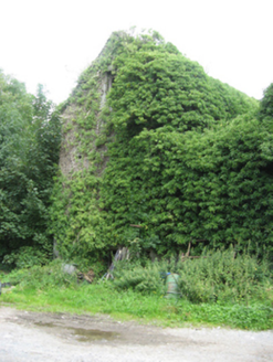 Killeen HouseMill (water) · 852 ydStonyisland BayBay · 1.1 miEnclosureEnclosure, large enclosure · 1.4 mi
 Friar's IslandIslet · 1.6 mi
 Portumna Forest ParkForest · 2.3 mi
 Church IslandIslet · 2.5 mi
 European Yew3.1 mi
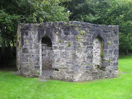 Portumna CastleGate lodge · 3.1 mi
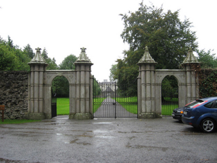 Portumna CastleGates/railings/walls · 3.1 mi
 Castle (in ruins)House, fortified house · 3.2 mi
 Pallas CastleCastle · 3.5 mi
Pictures: National Inventory of Architectural Heritage; Jason Keane, Geograph · CC BY-SA 2.0; Brian Nevin, Geograph · CC BY-SA 2.0; Sitomon, Wikimedia Commons · CC BY-SA 2.0; C O'Flanagan, Geograph · CC BY-SA 2.0; Mike Searle, Wikimedia Commons · CC BY-SA 2.0
More archaeology and monuments in County Galway · All of County Galway
What do you know about this place?