What is recorded here
No modern camera has mapped the dark passage beneath the ringfort, but human hands carved it through living rock. It may have served as a cellar, a refuge, or a forgotten way of moving through the land when storms closed the sky. The earth keeps what it is told to keep, and the absence of a visible entrance does not erase the shape of the making.
In NW quadrant of ringfort (8373). No visible surface trace.
The above description is derived from the published 'Archaeological Inventory of County Cork. Volume 3: Mid Cork' (Dublin: Stationery Office, 1997). In certain instances the entries have been revised and updated in the light of recent research.
Date of upload/revision: 14 January 2009
The monument record does not grant public access. Check the route and ask the landowner before entering private land.
- What survives
- Recorded monument
Places near here
 Neill's WoodWood · 1291 yd
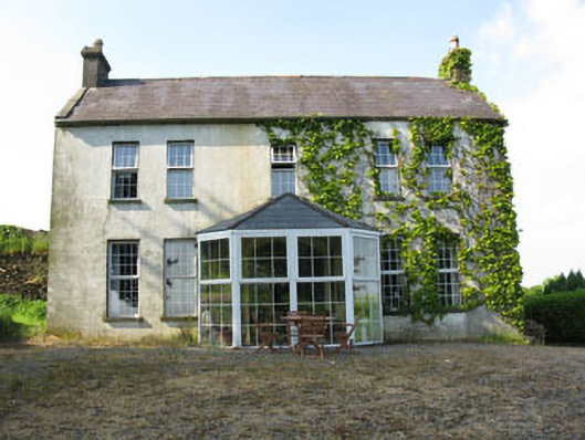 Mount Crosshouse · 1508 yd
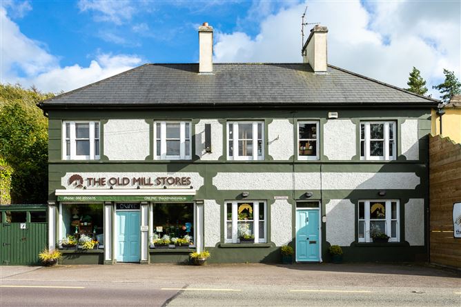 Old MillMill, unclassified · 1604 yd
 Grave YdGraveyard · 1.1 mi
 Man-made underground passage (Site of)Man-made underground passage · 1.1 mi
 Clonavrick CliffCliff · 1.9 mi
 Macroom WalksVisitor information · 2.3 mi
 Macroom Castle (in Ruins)Castle, tower house · 2.4 mi
 Battle of Macroombattle · 2.5 mi
 Curraheen WoodWood · 2.6 mi
 Carrigaphooca CastleCastle · 2.6 mi
 BurrenMountain / peak · 3.7 mi