What is recorded here
West Cork, Ireland. A hidden passage beneath a ringfort, marked only on old maps and stripped from modern surfaces. Two separate underground routes still belong to the same fortress, suggesting the site directed foot traffic through darkness rather than open fields.
In NW quadrant ringfort (CO118-060001-). No visible surface trace. Second Man-made underground passage (CO118-060002-) also marked on OS 6-inch map (1944) in same ringfort.
The above description is derived from the published 'Archaeological Inventory of County Cork. Volume 1: West Cork' (Dublin: Stationery Office, 1992). In certain instances the entries have been revised and updated in the light of recent research.
Date of upload/revision: 14 January 2009
The monument record does not grant public access. Check the route and ask the landowner before entering private land.
- What survives
- Recorded monument
Places near here
 Ardrah FortFairy fort / earthen ringfort · 13 yd
 Scart Castle (Site of)Castle, unclassified · 706 yd
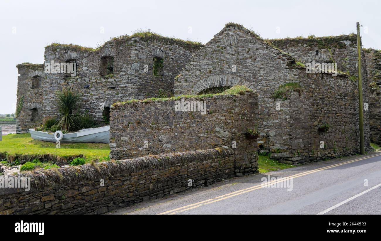 Scartbaun Burial Gd (Disused)Burial ground · 772 yd
 Durrus Church (in Ruins)Church · 1.1 mi
 Maggie MurphysRuins · 1.2 mi
 Seskin ViewViewpoint · 1.4 mi
 GinkgoGinkgo · 2.2 mi
 Barnageehy Loop WalkWalking route · 2.3 mi
 Bantry HouseHeritage attraction · 2.3 mi
 Graveyard in TownlotsGraveyard · 2.3 mi
 Tourist OfficeVisitor information · 2.4 mi
 Statue of Wolfe ToneMemorial · 2.4 mi