What is recorded here
Under a Mid Cork ringfort, three collapsed sections align NNW-SSE across fourteen metres, hiding a stone-lined passage roofed with lintels. The SE collapse exposes the buried roof, while silt fills the chamber below. People may have built the passage to keep dry, hide goods or enter the fort without crossing open ground.
In ringfort (8525). Three areas of collapse extend in a line NNW-SSE through centre for distance of c. 14m. Collapse at SE end reveals section of silted-up stone-lined passage roofed with lintels.
The above description is derived from the published 'Archaeological Inventory of County Cork. Volume 3: Mid Cork' (Dublin: Stationery Office, 1997). In certain instances the entries have been revised and updated in the light of recent research.
Date of upload/revision: 14 January 2009
The monument record does not grant public access. Check the route and ask the landowner before entering private land.
- What survives
- Recorded monument
Places near here
 Neill's WoodWood · 1723 yd
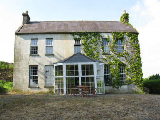 Mount Crosshouse · 1760 yd
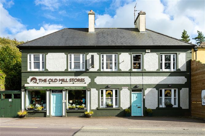 Old MillMill, unclassified · 1.1 mi
 Grave YdGraveyard · 1.2 mi
 Man-made underground passage (Site of)Man-made underground passage · 1.3 mi
 Clonavrick CliffCliff · 1.9 mi
 Macroom WalksVisitor information · 2.5 mi
 Macroom Castle (in Ruins)Castle, tower house · 2.6 mi
 Carrigaphooca CastleCastle · 2.7 mi
 Battle of Macroombattle · 2.7 mi
 Curraheen WoodWood · 2.8 mi
 BurrenMountain / peak · 3.7 mi