What is recorded here
No stonework is visible, but a hidden L-shaped chamber stretches more than twenty-five metres inside the rath. The main tunnel runs north-northeast for fourteen metres, then bends east-southeast for another eleven. Someone dug through solid earth without leaving a single stone behind. The chamber may have been a passage, a cellar or a chamber for ceremony. The missing walls suggest the site was altered or erased after it stopped being used.
Within the interior of a rath (GA106-156----), just WNW of the centre. This L-shaped depression (L >25.3m) may mark the site of a Man-made underground passage. It runs NNE-SSW (L 14m; Wth 4.7m; D 1.7m) before turning ESE at its S end (L 11.3m; Wth 5.6m). No stonework is visible.
Compiled by: Galway Archaeological Survey, UCG
Date of upload: 24 April 2018
The monument record does not grant public access. Check the route and ask the landowner before entering private land.
- What survives
- Recorded monument
Places near here
 Streamstown Castle (in ruins)Castle, unclassified · 372 yd
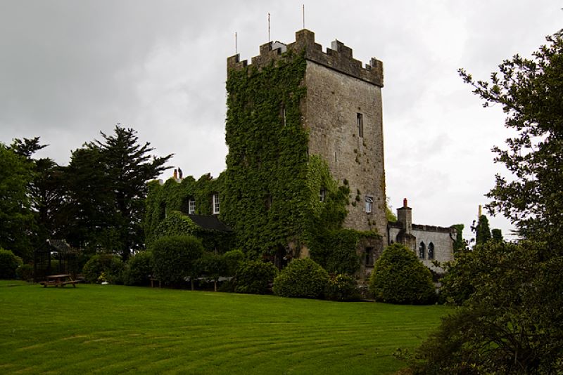 CastleCastle, unclassified · 747 yd
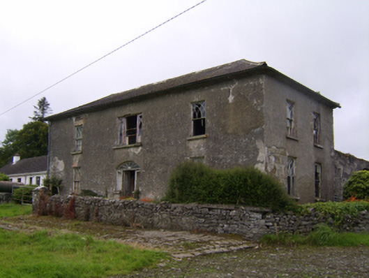 Streamstown Househouse · 811 yd
 Quarry in Carrowmore (bracklagh Ed )Quarry · 1083 yd
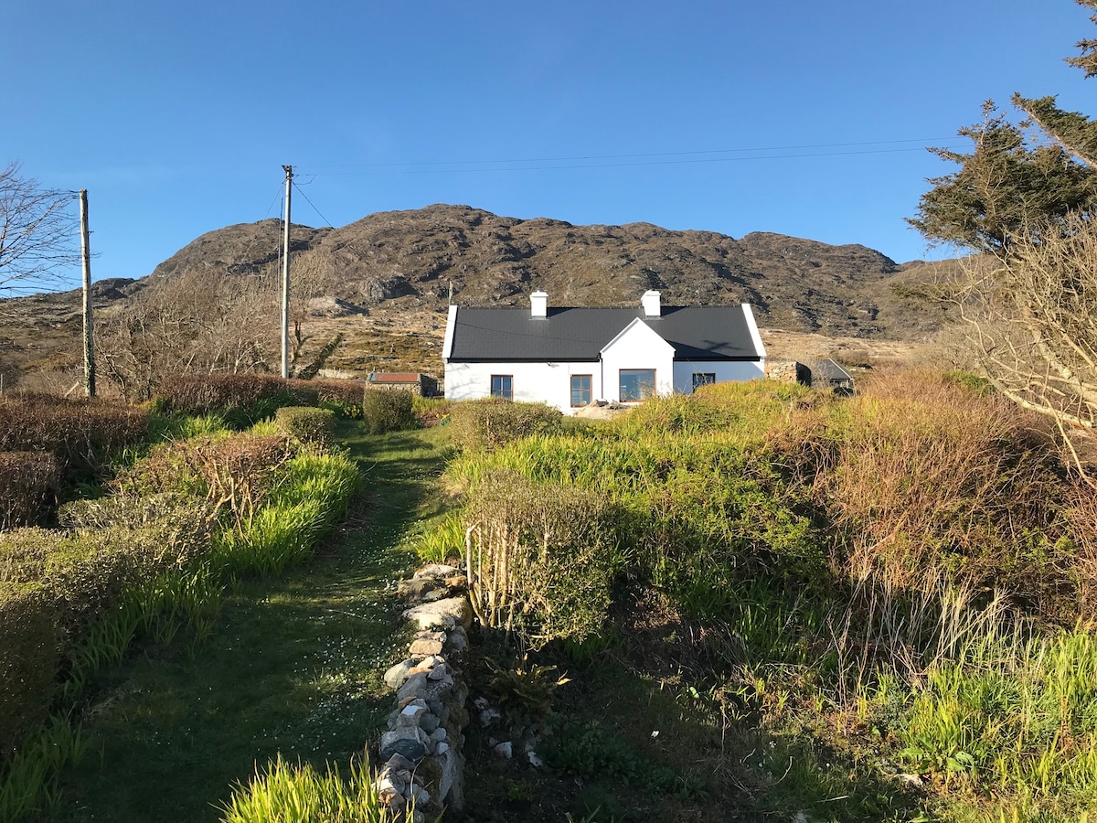 ‘Dogs Fort’Fairy fort / earthen ringfort · 1536 yd
 Enclosure in Grange BegEnclosure · 1625 yd
 Quarryhill WoodWood · 3.1 mi
 Bog WoodForest · 3.7 mi
 Dartfield Horse MuseumHeritage attraction · 4.4 mi
 Battle of AughrimMajor battlefield · 9.8 mi
 The bloody HollowHeritage attraction · 9.8 mi
 Battle of Aughrim Interpretative CentreMuseum · 10 mi