What is recorded here
No visible trace remains, but local tradition still calls the lost passage a cave beside the motte in Stormanstown. People may have dug it to hide, store or escape when the land above became dangerous. The earth keeps that much of the shape, even if the entrance has vanished.
The following description is derived from both the published 'Archaeological Inventory of County Louth' (Dublin: Stationery Office, 1986) and the 'Archaeological Survey of County Louth' (Dublin: Stationery Office, 1991). In certain instances the entries have been revised and updated in the light of recent research.
Date of upload/revision: 17 July 2007
Local tradition of a 'cave' associated with motte (LH013-024001).
The monument record does not grant public access. Check the route and ask the landowner before entering private land.
- What survives
- Recorded monument
Places near here
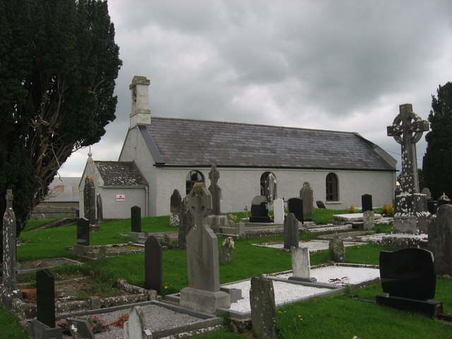 St. Medocs ChurchChurch · 531 yd
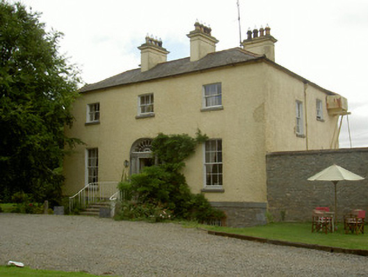 Churchtown Houserectory/glebe/vicarage/curate's house · 567 yd
 Enclosure in RogerstownEnclosure · 887 yd
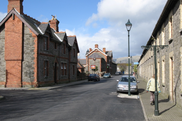 Enclosure in CardistownEnclosure · 1157 yd
 Site of Cookstown CastleCastle, unclassified · 1.2 mi
 Matthew's HillMountain / peak · 1.6 mi
 Yellow HillMountain / peak · 2.1 mi
 CastleCastle, motte · 2.3 mi
 English hollyEnglish holly · 3.1 mi
 European BeechEuropean Beech · 3.1 mi
 Flat cemetery in AnnaheanFlat cemetery · 3.2 mi
 Sir Frederick Foster MemorialMemorial · 3.3 mi