What is recorded here
Situated S of a low rise, in pasture. A standing stone (WM023-047----) lies c. 40m to N. Depicted as a narrow linear trench (approx. dims. L 28m; Wth 7m) orientated E-W on the revised 1913 ed. OS 6’ map. Monument described in 1981 as no surface remains visible. According to local information, there was a ‘cave’ in this vicinity, although its precise location is unknown.
Compiled by Alison McQueen, Vera Rahilly and Caimin O’Brien.
Date of upload: 24 July 2019
The monument record does not grant public access. Check the route and ask the landowner before entering private land.
- What survives
- Recorded monument
Places near here
 Saint Owen's Rectoryrectory/glebe/vicarage/curate's house · 818 yd
 Enclosure in ClonybaneEnclosure · 1409 yd
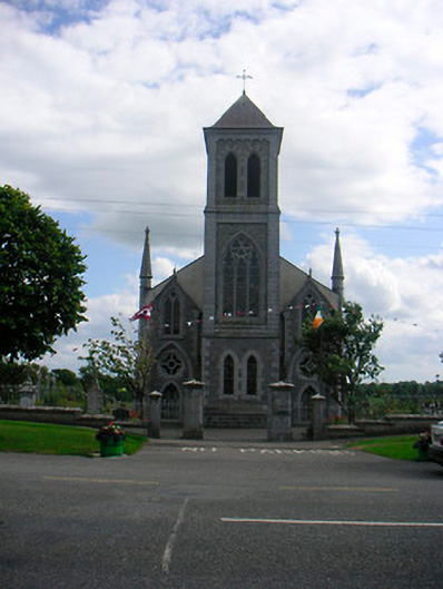 Catholic Church of the Most Holy Redeemerchurch/chapel · 1555 yd
 Mass-rock in HarrystownMass-rock · 1663 yd
 Plary Monastery (in Ruins)Castle, tower house · 1.1 mi
 IndicatedCastle, unclassified · 1.3 mi
 Corran IslandIslet · 1.8 mi
 Japanese pagoda treeJapanese pagoda tree · 3.0 mi
 KnockastiaMountain / peak · 3.5 mi
 Sam's ParkForest · 4.0 mi
 Noughaval CemeteryArchaeological place · 4.9 mi
 Killinure BayBay · 8.5 mi