What is recorded here
Situated NW of the centre of the rath (MO028-139001-). The water-filled entrance to a drystone walled passage with a lintelled roof is visible, but the passage is inaccessible. A stone (dims c. 0.3m x c. 0.3m) with some indecipherable writing on it was found at what is known as the well (Kelly 1890-1) but the whereabouts of this stone is not known now. There was reputed to be a giant’s grave ‘nine yards by two yards (dims c. 2.75m x c. 1.8m)’ nearby (ibid.), which is probably a description of the Man-made underground passage passage. These features are recorded in the folk knowledge of the School’s Manuscripts, for which see this web-page accessed on 13/07/2017: http://www.duchas.ie/en/cbes/4742042/4730236
The above description is derived from the published 'Archaeological Inventory of County Monaghan' (Dublin: Stationery Office, 1986). In certain instances the entries have been revised and updated in the light of recent research.
Date of revision: 28 July 2017
The monument record does not grant public access. Check the route and ask the landowner before entering private land.
- What survives
- Recorded monument
Places near here
 Not indicaetdMan-made underground passage · 756 yd
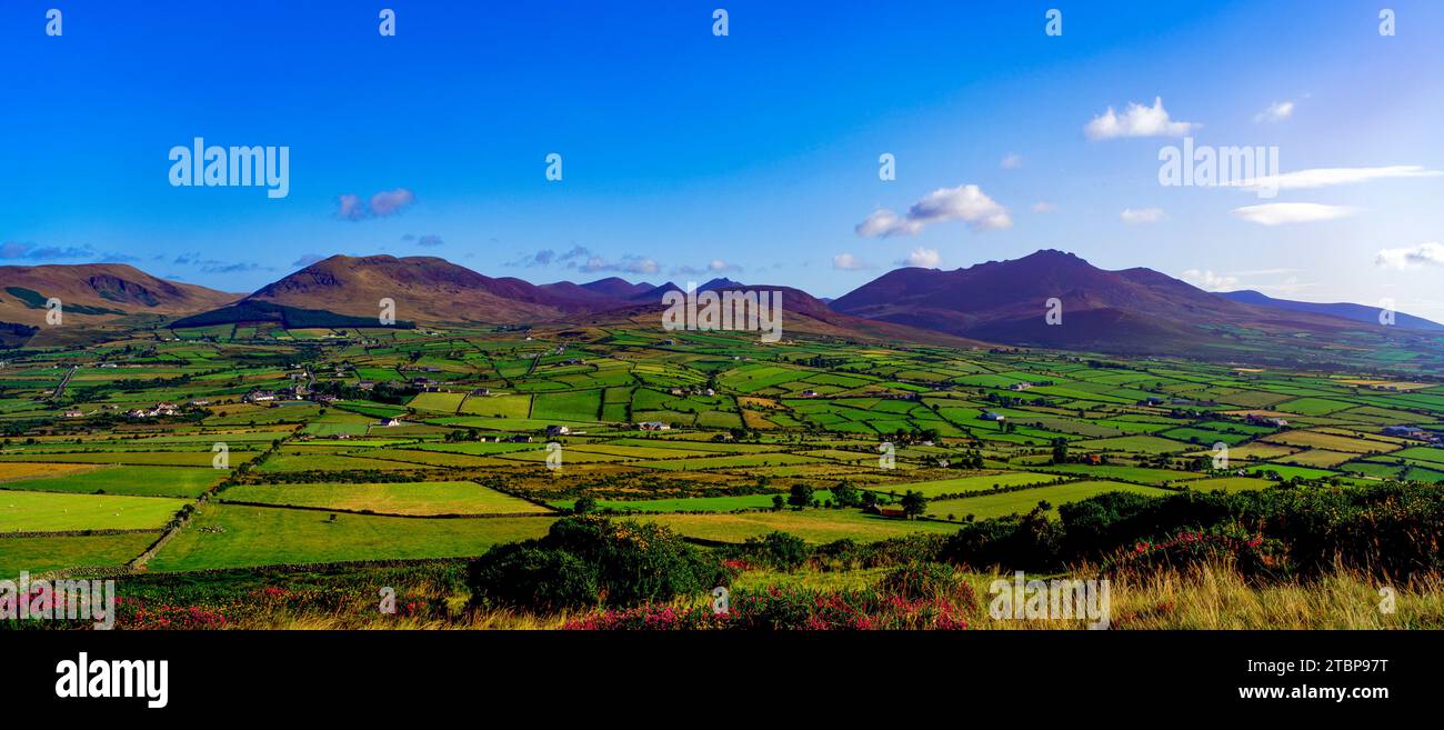 Man-made underground passage in MomonyMan-made underground passage · 760 yd
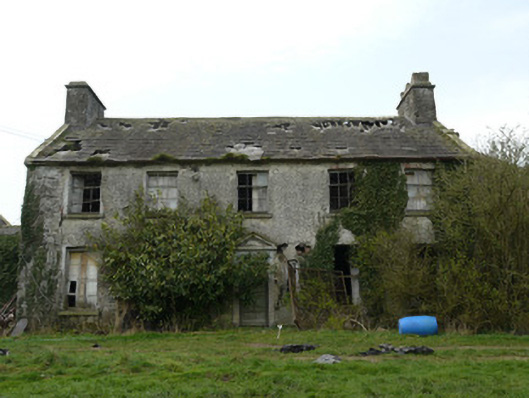 Rocksavagecountry house · 1181 yd
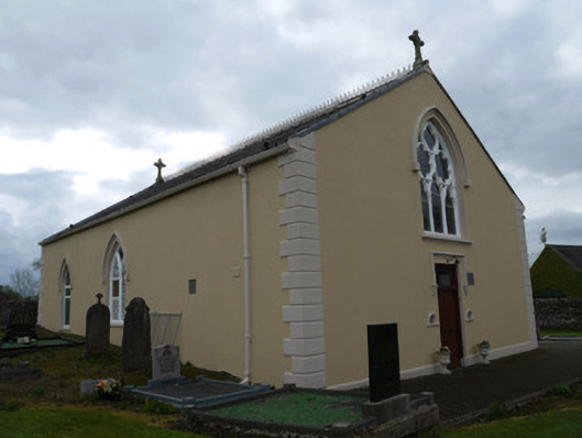 Saint Anne's Catholic Churchchurch/chapel · 1644 yd
 Mannan Castle (in ruins)Castle, Anglo-Norman masonry castle · 3.0 mi
 TobernagalliaghSpring · 4.3 mi
 Horse-chestnutHorse-chestnut · 4.4 mi
 MoatCastle, motte · 4.7 mi
 KnockreaghMountain / peak · 4.8 mi
 European BeechEuropean Beech · 4.9 mi
:no_upscale()/cdn.vox-cdn.com/uploads/chorus_asset/file/25593391/County_Louth_6th.jpg) LouthMountain / peak · 5.3 mi
LouthMountain / peak · 5.3 mi Ballsmill Amenity LandPicnic place · 7.0 mi