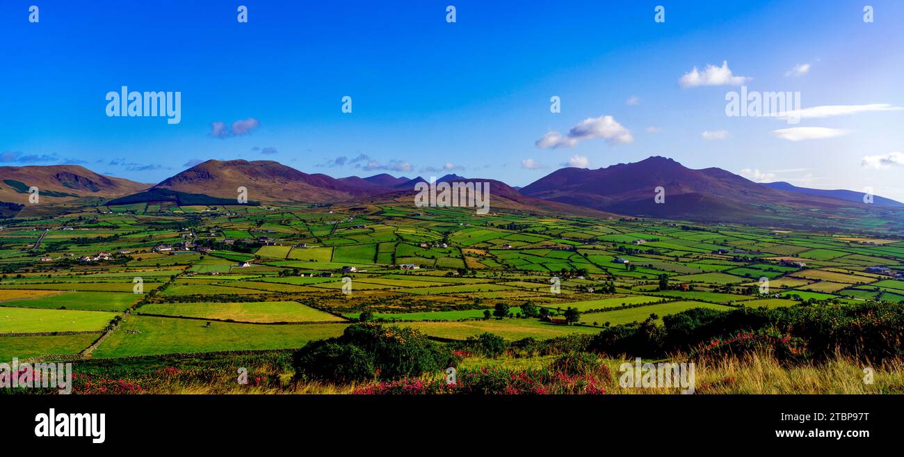
What is recorded here
Located on the NW-facing slope of a slight NE-SW ridge in a low-lying landscape. In 1984 part of a Man-made underground passage was uncovered during ploughing. About 5m to the SE another portion came to light, which is described locally as the junction of two passages. Another Man-made underground passage (MO028-138----) is c. 40m to the SW.
The above description is derived from the published 'Archaeological Inventory of County Monaghan' (Dublin: Stationery Office, 1986). In certain instances the entries have been revised and updated in the light of recent research.
Date of revision: 12 December 2017
The monument record does not grant public access. Check the route and ask the landowner before entering private land.
- What survives
- Recorded monument
Places near here
 Not indicaetdMan-made underground passage · 45 yd
 IndicatedMound · 381 yd
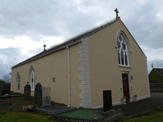 Saint Anne's Catholic Churchchurch/chapel · 1241 yd
 water pumpwater pump · 1290 yd
 Mannan Castle (in ruins)Castle, Anglo-Norman masonry castle · 2.6 mi
 TobernagalliaghSpring · 3.9 mi
 Horse-chestnutHorse-chestnut · 4.2 mi
 KnockreaghMountain / peak · 4.4 mi
 CastleCastle, motte and bailey · 4.6 mi
 European BeechEuropean Beech · 4.7 mi
:no_upscale()/cdn.vox-cdn.com/uploads/chorus_asset/file/25593391/County_Louth_6th.jpg) LouthMountain / peak · 5.7 mi
LouthMountain / peak · 5.7 mi Ballsmill Amenity LandPicnic place · 7.1 mi
Other information
Photo: Credit not shown in the picture search · Rights wording not checked; contact us if this picture should be removed