
What is recorded here
Located towards the bottom of a S-facing slope. The Man-made underground passage was known locally since the 1920s but was recorded in 1984 when it came to attention because of a partial collapse. The original entrance was inaccessible but the passage led N through a narrow point (Wth 0.45-0.5m) and turned E (L 3.5m; Wth c. 0.5m; H 0.8 at W to 1.25m at E) where it opened out (Wth 0.9m; L 1.5m; H 1.25m) with an opening (Wth 0.25m; H 0.6m; L 0.25m plus) to the N that might have led to another blocked passage. The main passage continued E and broadened into a slightly wider chamber where the collapse occurred (total accessible L 8m). The Man-made underground passage is now closed. (Buckley 1986)
The above description is derived from the published 'Archaeological Inventory of County Monaghan' (Dublin: Stationery Office, 1986). In certain instances the entries have been revised and updated in the light of recent research.
Date of revision: 1 September 2017
The monument record does not grant public access. Check the route and ask the landowner before entering private land.
- What survives
- Recorded monument
Places near here
 Corcrin Bridgebridge · 1092 yd
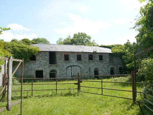 Capraghoutbuilding · 1172 yd
 Grave YardGraveyard · 1.3 mi
 Man-made underground passage in TrostanMan-made underground passage · 1.4 mi
 Mannan Castle (in ruins)Castle, Anglo-Norman masonry castle · 1.9 mi
 Horse-chestnutHorse-chestnut · 2.5 mi
 European BeechEuropean Beech · 2.9 mi
 TobernagalliaghSpring · 3.2 mi
 Flat cemetery in AnnaheanFlat cemetery · 4.6 mi
 RathneestinCastle, tower house · 6.1 mi
:no_upscale()/cdn.vox-cdn.com/uploads/chorus_asset/file/25593391/County_Louth_6th.jpg) LouthMountain / peak · 6.3 mi
LouthMountain / peak · 6.3 mi Ballsmill Amenity LandPicnic place · 8.9 mi
Other information
Photo: Credit not shown in the picture search · Rights wording not checked; contact us if this picture should be removed