
What is recorded here
In pasture, on a NW-facing slope. This Man-made underground passage was discovered in 1995 when the ground collapsed during silage cutting. A considerable amount of earth from the collapsed roof and some of the loose stones from the W side-wall had been removed manually from the Man-made underground passage prior to archaeological investigation. The Man-made underground passage consists of at least one earth-cut chamber (c. 4m N-S; 1.45m E-W; min. H 0.7m). The top of the roof of the chamber is c. 0.9m below present ground level. There is a possible construction shaft at the S end of the W wall. A creepway leads to the NNW and a possible second one to the SSW, both are inaccessible.
The above description is derived from 'The Archaeological Inventory of County Cork. Volume 5' (Dublin: Stationery Office, 2009).
Date of upload: 22 December 2009
The monument record does not grant public access. Check the route and ask the landowner before entering private land.
- What survives
- Recorded monument
Places near here
 Sunday's WellSpring · 568 yd
 Upper Forrestcountry house · 1241 yd
 Rooves BridgeBridge · 1398 yd
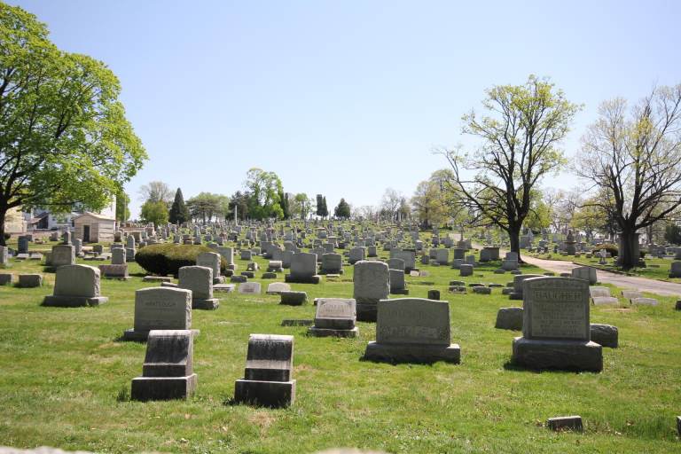 Burial ground in MahallaghBurial ground · 1553 yd
 Fulachta FiadhFulacht fia · 1556 yd
 Old Mansion HoCastle, Anglo-Norman masonry castle · 1.5 mi
 Black WoodWood · 1.6 mi
 Quarry WoodWood · 1.6 mi
 Carrigadrohid Castle (in Ruins)Castle, tower house · 2.3 mi
 Carrigadrohid CastleHeritage attraction · 2.3 mi
 Carrigadrohid Castle InfoVisitor information · 2.3 mi
 Mullinhassig WaterfallWaterfall · 3.2 mi
Other information
Photo: Credit not shown in the picture search · Rights wording not checked; contact us if this picture should be removed