What is recorded here
The following description is derived from both the published 'Archaeological Inventory of County Louth' (Dublin: Stationery Office, 1986) and the 'Archaeological Survey of County Louth' (Dublin: Stationery Office, 1991). In certain instances the entries have been revised and updated in the light of recent research.
Date of upload/revision: 17 July 2007
Local tradition of a 'cave' in a tree-ring. Now destroyed. (IFC Schools MSS 674, 157).
This remains an important historical record, but the official description says the monument is no longer visible or has been destroyed. The monument record does not grant public access. Check the route and ask the landowner before entering private land.
- What survives
- No visible remains or recorded as destroyed
Places near here
 Mortuary chapelChapel · 540 yd
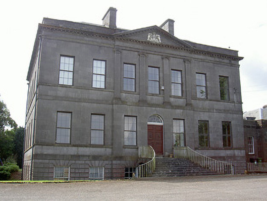 Rokeby Hallcountry house · 575 yd
 Mass-rock in KearneystownMass-rock · 1558 yd
 Holy well in CarrickbaggotHoly well · 1621 yd
 Chapel (in Ruins), GraveyardChurch · 1758 yd
 European BeechEuropean Beech · 1.3 mi
 European YewEuropean Yew · 1.4 mi
 BarmeathCastle, tower house · 1.4 mi
 Graveyard in DysartGraveyard · 1.7 mi
 CastleCastle, motte · 1.9 mi
 Tullydonnell HillMountain / peak · 2.3 mi
 MonasterboiceEarly monastic site · 3.3 mi