What is recorded here
Rectangular depression with stone-lined sides at SE of ringfort (LH008-004001-), possibly indicates a Man-made underground passage.
Compiled by: Claire Breen
Date of upload: 9 December 2011
The monument record does not grant public access. Check the route and ask the landowner before entering private land.
- What survives
- Recorded monument
Places near here
 Annaloughan MountainMountain / peak · 749 yd
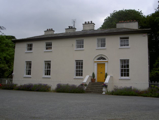 The Old Rectoryrectory/glebe/vicarage/curate's house · 934 yd
 Man-made underground passageEnclosure · 1146 yd
 Holy well in Bellurgan (dundalk Lwr By; Ballyboys Par.)Holy well · 1291 yd
 The Round MountainMountain / peak · 1597 yd
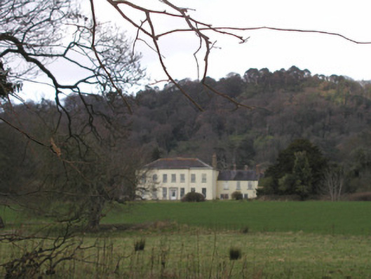 Bellurgan Parkhouse · 1.7 mi
 IndicatedBawn · 2.2 mi
 Soldiers' PointHeadland · 2.6 mi
 CastleCastle, tower house · 2.6 mi
 Proleek DolmenArchaeological place · 2.7 mi
 Carlingford - Slieve Foye LoopWalking route · 4.0 mi
 Carlingford - Loop 1A- Commons LoopWalking route · 4.1 mi