What is recorded here
In a cashel (SL032-126001-) off-centre to W. An L-shaped depression extends for 14.5m N-S and then for 5.7m E-W. The depression is partially filled with stones, revetted in parts by drystone-walling, with some roofstones visible.
The above description is derived from the published 'Archaeological Inventory of County Sligo' compiled by Ursula Egan, Elizabeth Byrne, Mary Sleeman with Sheila Ronan and Connie Murphy (Dublin Stationery Office, 2005).
Date of upload: 18 January 2008
The monument record does not grant public access. Check the route and ask the landowner before entering private land.
- What survives
- Recorded monument
Places near here
 IndicatedEnclosure · 825 yd
 Indicated (1838).Enclosure · 906 yd
 European ashEuropean ash · 1541 yd
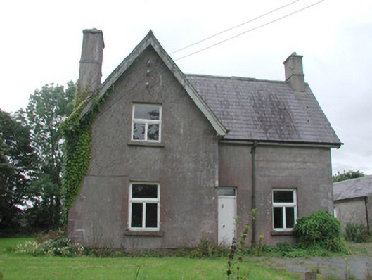 Temple Househunting/fishing lodge · 1675 yd
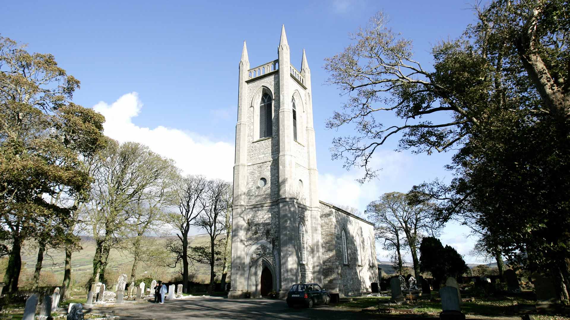 Church (in Ruins)Church · 1.1 mi
 ElderElder · 1.2 mi
 CastleCastle, unclassified · 1.8 mi
 KnocknasheeMountain / peak · 2.7 mi
 RathdoonyCastle, motte · 3.1 mi
 Tymon's HillMountain / peak · 4.0 mi
 Brother WalfridMemorial · 4.1 mi
 James MorrisonMemorial · 6.9 mi