What is recorded here
Situated on the NW face of a small hillock. Ringfort (WM013-085----) 280m to NE, with second ringfort (WM013-094---) 320m to E. Man-made underground passage uncovered during widening of the Mullingar-Kells road in 1932. The works involved cutting into the face of a small hillock by the roadside which uncovered a passage belonging to a Man-made underground passage (Murray 1932, 224). The Man-made underground passage was entered through a short N-S passage, which in turn led to a passage running ENE-WSW which gave access to a rectangular corbelled chamber (dims. 3.8m N-S x 2.3m E-W; H 2.3m) at E end. This road marks the townland boundary with Balrath North and Crosserdree. The entrance to the Man-made underground passage was located immediately SE of a concrete road-side wall and was set into the NW face of a small hillock (approx. dims. 24.7m NE-SW x 18m NW-SE).
See attached plan of Man-made underground passage taken from JRSAI 1932, 224.
Compiled by: Frank Coyne and Caimin O'Brien
Date of upload: 24 July 2018
The monument record does not grant public access. Check the route and ask the landowner before entering private land.
- What survives
- Recorded monument
Places near here
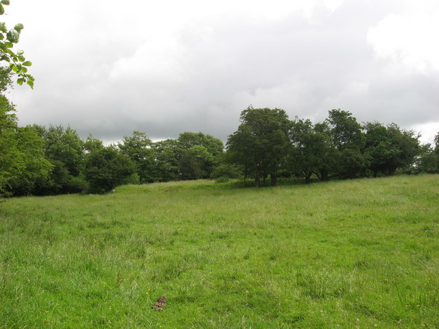 Fairy fort / earthen ringfort in ReynellaFairy fort / earthen ringfort · 335 yd
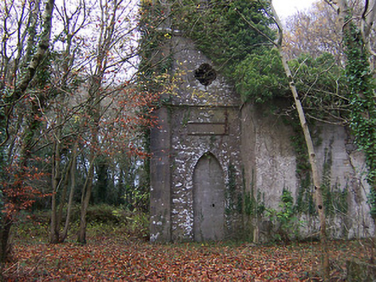 Church of Saint John the Baptist (Rathconnell)church/chapel · 407 yd
 Hut site in Balrath North (moyashel & Magheradernon By.)Hut site · 586 yd
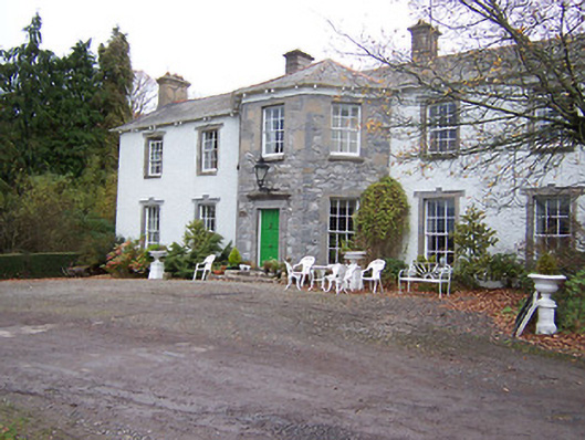 Reynella Housecountry house · 911 yd
 GinkgoGinkgo · 1084 yd
 OutlinedCastle, unclassified · 1436 yd
 Bawn in Williamstown (briscoe)Bawn · 1.3 mi
 The FurzeForest · 5.7 mi
 KnockeyonMountain / peak · 6.1 mi
 Kells HillMountain / peak · 8.5 mi
 Croppies' GraveMemorial · 12 mi
 Partially hachuredFairy fort / earthen ringfort · 973 yd