What is recorded here
Situated on the S side of a high, gradual rise, in pasture, with excellent views to E, SE and S. In the NE quadrant of moated site (WM025-091----) a narrow view into a drystone Man-made underground passage is visible where one roof slab has been displaced. This appears to be the end of a gallery or a passage, however it is not accessible. Toward the centre of the enclosure a large stone protrudes above the surface and may be associated with this subterranean structure. A house site (WM025-091001-) is to SW.
Compiled by Alison McQueen, Vera Rahilly and Caimin O’Brien.
Date of upload: 12 September 2019
The monument record does not grant public access. Check the route and ask the landowner before entering private land.
- What survives
- Recorded monument
Places near here
 Partially hachuredFairy fort / earthen ringfort · 249 yd
 OutlinedEnclosure · 382 yd
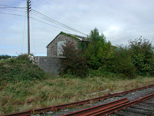 Castletown Railway Stationstore/warehouse · 822 yd
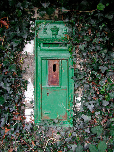 post boxpost box · 961 yd
 Adamstown Castle (in Ruins)Castle, tower house · 1246 yd
 CastleCastle, tower house · 1478 yd
 Hill of UisneachMountain / peak · 2.5 mi
 European ashEuropean ash · 3.0 mi
 Sam's ParkForest · 3.4 mi
 KnockastiaMountain / peak · 5.0 mi
 St. Columba's WellSpring · 9.5 mi
 Moate HillMountain / peak · 9.6 mi