What is recorded here
One chamber, one roof, one visible chamber in County Louth. Whether a dwelling, a hiding place or a chamber for the dead, the rock and timber still answer the same way: a person shaped the dark to suit human life. The preservation order agrees. What is worth keeping is still worth seeing unharmed.
The following description is derived from both the published 'Archaeological Inventory of County Louth' (Dublin: Stationery Office, 1986) and the 'Archaeological Survey of County Louth' (Dublin: Stationery Office, 1991). In certain instances the entries have been revised and updated in the light of recent research.
Date of upload/revision: 17 July 2007
Local tradition of a 'cave' in ringfort (LH008-070001-). (IFC Schools MSS 660, 109-10, 282)
This monument is subject to a preservation order made under the National Monuments Acts 1930 to 2014 (PO no. 1/2002).
The monument record does not grant public access. Check the route and ask the landowner before entering private land.
- What survives
- Recorded monument
Places near here
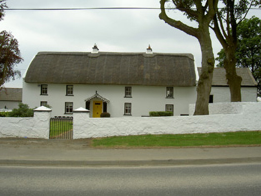 Rampark Farmhousehouse · 356 yd
 Mass-rock in AnnaloughanMass-rock · 742 yd
 Saint Mary's Catholic Churchchurch/chapel · 941 yd
 Man-made underground passageFairy fort / earthen ringfort · 985 yd
 SlievenagloghMountain / peak · 1.1 mi
 IndicatedBawn · 1.3 mi
 Annaloughan MountainMountain / peak · 1.4 mi
 Mount Bagnell FoerCastle, motte and bailey · 1.7 mi
 The BushPicnic place · 3.1 mi
 Soldiers' PointHeadland · 3.2 mi
 Cooley MountainsMountain range · 3.8 mi
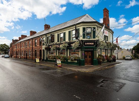 TSS DundalkMemorial · 3.8 mi