What is recorded here
Located on the summit of a broad plateau and towards its E edge. Inside the bank of rath (MO017-034----) at N is a grass-covered depression (dims 14.2m N-S; 3.4m E-W; D 0.5m), which might be a collapsed Man-made underground passage although there is no evidence of stones.
Compiled by: Michael Moore
Date of upload: 8 May 2018
The monument record does not grant public access. Check the route and ask the landowner before entering private land.
- What survives
- Recorded monument
Places near here
 Radeerpark fortFairy fort / earthen ringfort · 9 yd
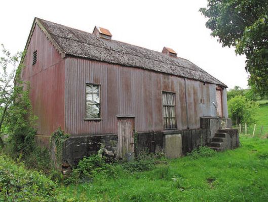 Radeerpark Creamerycreamery · 673 yd
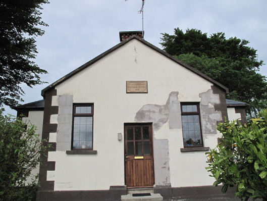 Radeerpark National Schoolschool · 701 yd
 Caldragh fortEnclosure, large enclosure · 707 yd
 European YewEuropean Yew · 1.4 mi
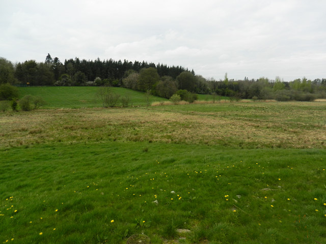 Carn WoodForest · 1.6 mi
 Saint John's WellSpring · 2.2 mi
 Abbey RuinsHeritage attraction · 2.6 mi
 Ulster Canal Stores Visitor CentreHeritage attraction · 2.6 mi
 LattacrossanMountain / peak · 3.4 mi
 Tomb HillMountain / peak · 3.5 mi
 Roosky Castle (Site of)Castle, ringwork · 4.0 mi