What is recorded here
Three roof gaps reveal a narrow stone throat curving north beneath the Oldbridge ridge, its lintel-capped walls built for someone who walked below while others watched the Boyne valley from above. Ploughing stripped the soil in 2014, exposing at least nine metres of passage and a collapsed section farther north, while the southern end crumples into a possible eastward turn. The chamber may have been a hideplace, a ritual route or a forgotten boundary marker, but its shape still resists ordinary explanation.
Situated just off the brow of a ridge on gently sloping land overlooking the Boyne river valley to the north. The remains of a Man-made underground passage passage is visible via three gaps in the roof that were exposed as result of ploughing resulting in a shallow depression c. 6m x 4m. The passage, 0.7m wide and averaging 0.70m high in the exposed sections runs approximately north-south and it proved possible to examine only a small section of it where lintels have been removed. The walls are composed of dry-stone walling on top which rests a series of lintels. The passage measures at least 9m in length and curves northwards from the exposed section in the depression. Further collapse of a section of the Man-made underground passage took place in 2014 some 3.8m north of the existing openings. The Man-made underground passage appears to terminate immediately south of the southern-most gap but it is very collapsed in this area and the visible corner may represent an angled turn with the passage turning towards the east.
Image 1: View of the depression looking south with the northern and souther gaps in the roof of the Man-made underground passage visible.
Image 2: The passage curving to the north taken from the northern-most gap.
Image 3: The passage looking south taken from the northern-most gap.
Revised by: Paul Walsh
Date of upload: 3 April 2014
The monument record does not grant public access. Check the route and ask the landowner before entering private land.
- What survives
- Recorded monument
Places near here
 Enclosure in DowthEnclosure · 533 yd
 pill boxpill box · 661 yd
 Glenmore ForestWood · 950 yd
 Concentric enclosure in DowthConcentric enclosure · 1125 yd
 Proudfootstown CastleCastle, unclassified · 1161 yd
 European YewEuropean Yew · 1503 yd
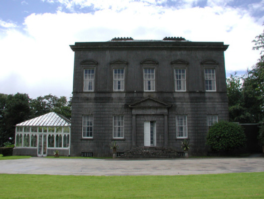 Dowth Hallcountry house · 1566 yd
 Grove IslandIslet · 1666 yd
 Battle of the BoyneMajor battlefield · 1684 yd
 Battle of the Boyne Visitor CentreMuseum · 1721 yd
 Yellow IslandIslet · 1.0 mi
 Dowth CastleCastle, tower house · 1.2 mi