What is recorded here
Ten metres of carved rock lay hidden inside a Clare ringfort before clay and forgetting closed the mouth. Westropp walked the full length in 1911, measuring twelve lintels and a side recess that still echoes in his notes. The passage has vanished again, leaving only a buried stone bridge and the suspicion that the earth swallowed what people had shaped.
In the interior of a large subcircular ringfort (CL003-009----), c. 18m NE of centre. Indicated and named ‘cave’ on the 1842 ed. of the OS 6-inch map but not indicated on the 1915 ed. It is now inaccessible and all that can be discerned is a lintel (traceable Wth 0.9m; T 0.2m; depth of sod cover above 0.2–0.3m) resting on drystone-walling, spanning an ope (Wth 0.8m). The area under the lintel is filled with clay leaving a gap of 0.25m between the top of the fill and the underside of the lintel. A passage (est. L 4m) runs NNE and a shallow depression runs SSW (L c. 1m). In Westropp’s time the Man-made underground passage was accessible and he recorded it as ’34 feet 6 inches (10.52m) long, 4 feet 10 inches to 6 feet 5 inches (1.47–1.96m) wide inside, and 2 feet 10 inches (0.86m) at the entrance and 6 feet (1.83m) inside…. [and as having]… a projecting cornice and 12 lintels from 8 inches to 1 foot (0.2–0.3m) thick, and from 21 to 39 inches (0.53–0.99m) wide. [He also recorded] a shallow side recess 1 foot and 4 inches (0.41m) deep and 4 feet 6 inches (1.37m) long [and] a space 2 feet 6 inches (0.76m) deep… [that opened] at the end under the roof, but… [did] not seem to be a passage’ (Westropp 1911, 353).
Compiled by: Mary Tunney and Ros Ó Maoldúin
Date of upload: 15 December 2020
The monument record does not grant public access. Check the route and ask the landowner before entering private land.
- What survives
- Recorded monument
Places near here
 Mortyclogh FortFairy fort / ringfort · 23 yd
 Caher of MortycloghFairy fort / stone ringfort · 313 yd
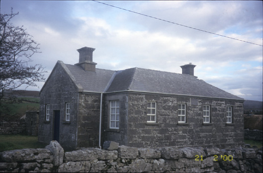 Ballyvelaghan National Schoolschool · 834 yd
 Muckinish PointHeadland · 1055 yd
 Saint Patrick's ChurchHeritage attraction · 1285 yd
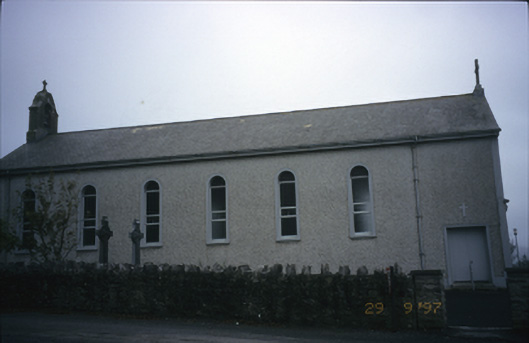 Saint Patrick's Catholic Churchchurch/chapel · 1286 yd
 The Russell GalleryGallery · 1385 yd
_-_geograph.org.uk_-_5527885.jpg?width=1280) IndicatedBawn · 1.0 mi
IndicatedBawn · 1.0 mi Shanmuckinish CastleCastle, tower house · 1.0 mi
 Battle of Lough Raskabattle · 1.3 mi
 Abbey HillMountain / peak · 1.5 mi
 Corcomroe Abbey Geopark SiteVisitor information · 1.6 mi