What is recorded here
No, because that is a new exact claim about the identity of the chambers.
In pasture on E-facing slope. When investigated in 1960 (UCC), two portions of site remained in quarry: partially destroyed earth-cut chamber with short passage and creepway to possible second chamber (not explored); two further earth-cut chambers at right angles to each other, c. 12m away. (McCarthy 1977, 299-300). Subsequently destroyed.
The above description is derived from the published 'Archaeological Inventory of County Cork. Volume 1: West Cork' (Dublin: Stationery Office, 1992). In certain instances the entries have been revised and updated in the light of recent research.
Date of upload/revision: 14 January 2009
The monument record does not grant public access. Check the route and ask the landowner before entering private land.
- What survives
- Recorded monument
Places near here
 Pit in BallyhalwickPit · 1280 yd
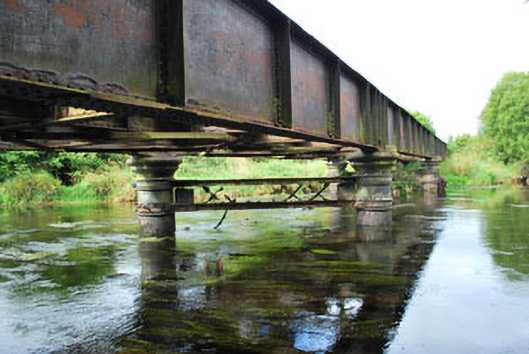 Milleenanannig Bridgeviaduct · 1465 yd
 Clubhouse Bridgebridge · 1596 yd
 Enclosure in Acres (carbery East (w.d.) By.)Enclosure · 1689 yd
 Ballynacarriga CastleCastle, tower house · 1.7 mi
 Graveyard in Dunmanway NorthGraveyard · 1.9 mi
 Dunmanway Heritage CentreVisitor information · 2.0 mi
 Mohona WoodWood · 2.0 mi
 Castle (Site of)Castle, Anglo-Norman masonry castle · 2.2 mi
 Mount GunneryMountain / peak · 3.0 mi
 Funmanway Adventure LandHeritage attraction · 3.3 mi
 Irish National Forestry FoundationNature reserve · 3.3 mi